

Ask any Wetton local about Thor’s Cave and they’ll tell you: avoid weekends, bring proper boots, and skip the short route if you want the real Manifold Valley experience.
Most online guides miss the insider knowledge that makes the difference between a frustrating day out and understanding why this limestone landscape has captivated visitors since Victorian times.
Getting to Thor’s Cave
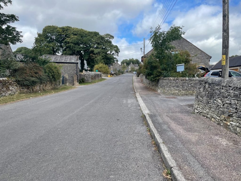
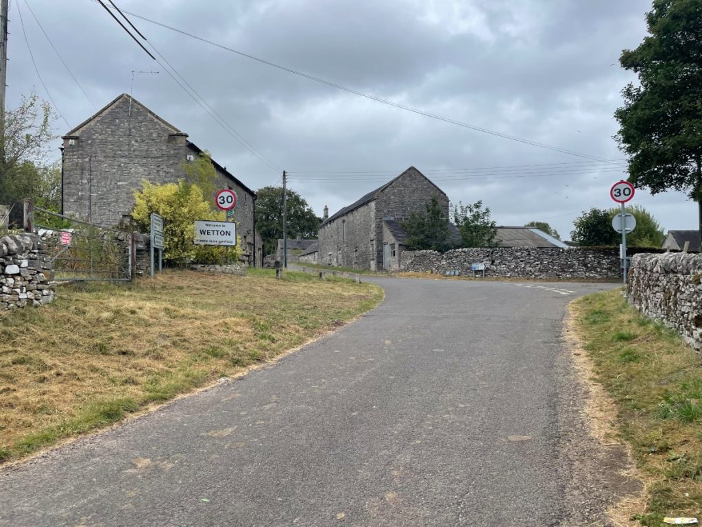
The village of Wetton is the main starting point for visiting Thor’s Cave.
Public transport to Wetton and the surrounding area is very limited, so driving is the most convenient option for most visitors.
Thor’s Cave Parking
Wetton is a small village, and the main car park has only a handful of spaces. During busier times of the year, nearby fields may open up to provide overflow parking.
There is also limited street parking near the main car park, but please be considerate of local residents and businesses, and avoid blocking driveways or access routes.
Wetton Public Toilet & Car Park (Free)

- Address: Carr Ln, Wetton, Ashbourne DE6 2AF
- Cost: Free
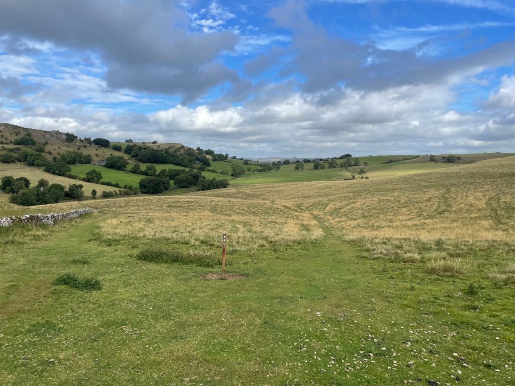
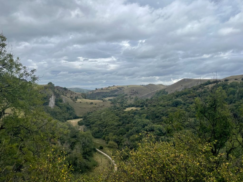
Thor’s Cave Walk Map & Routes
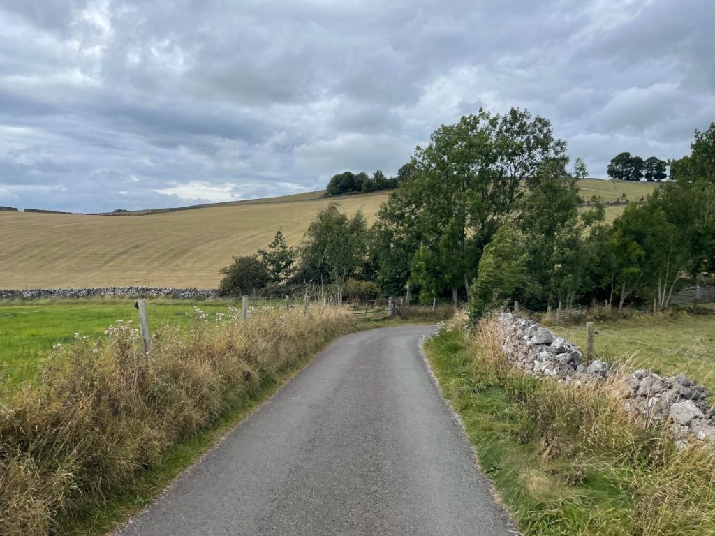
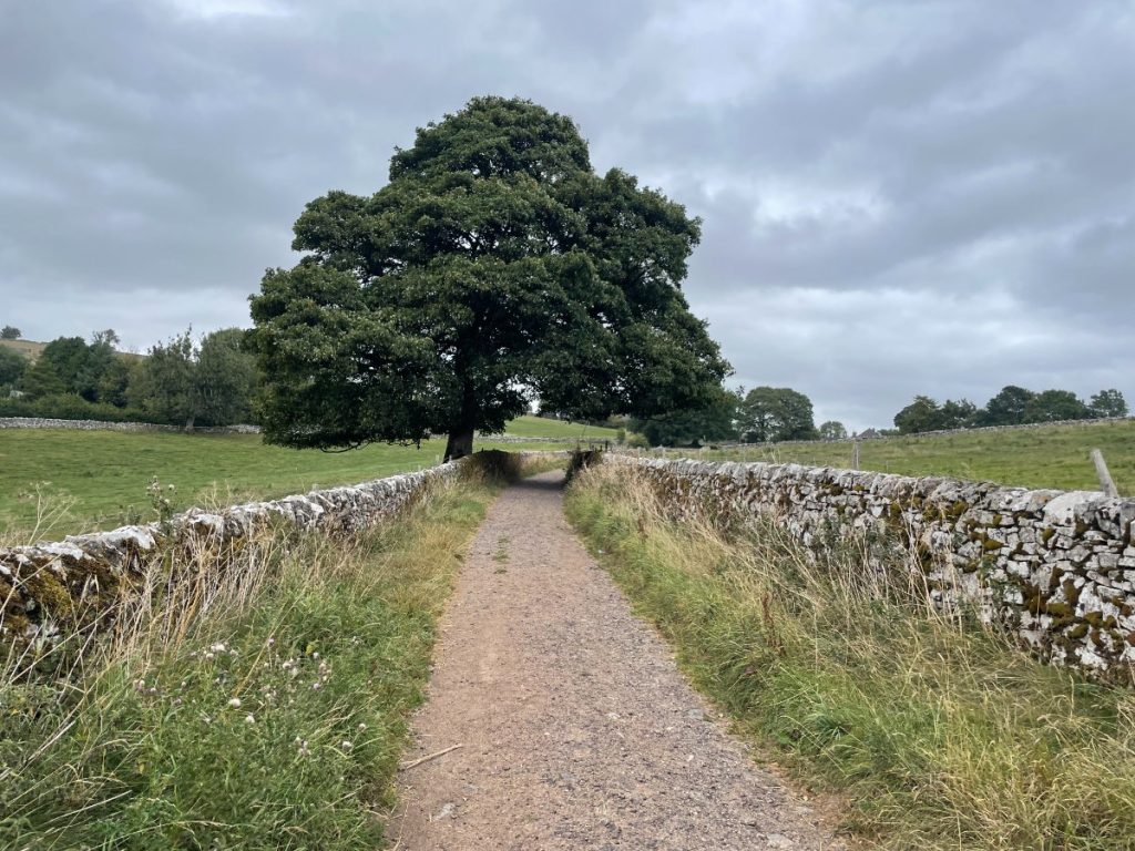
Download file for GPSThe walk begins in the village of Wetton, heading past the pub and uphill along a track. You’ll pass through several gates and fields near Wetton Hill before rejoining a small road. This leads into a narrow valley that passes Dale Farm, a campsite and shop, before joining the Manifold Valley. After a short while, you’ll see Thor’s Cave set into the hillside. A steep climb takes you up to the cave itself, where you can explore inside or continue up to the viewpoint above. From there, follow a track back to the village.
Looking for a direct route?
You can simply take the well-signposted path from the village in the other direction. It’s a shorter walk – about 1.3 km (0.8 miles) – and should take around 20–30 minutes one way.
Which hiking map app should I use? I recommend OS Maps Online for its unparalleled accuracy. However, if you’re a beginner, you might find AllTrails to be more user-friendly. For a detailed review of the best UK map apps, read my full review.
Thor’s Cave Walk Step by Step – 8.1 km / 5.1mi ~ 2.5-3 hrs (🟠 Medium Difficulty)
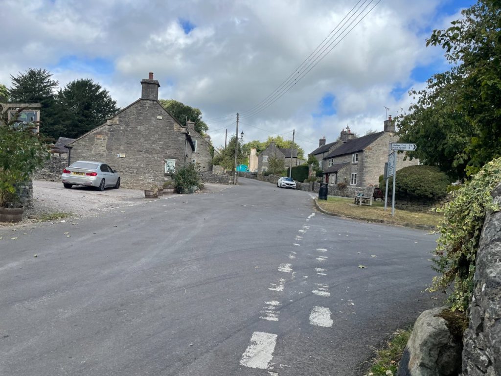
- Leave the car park, turn left and head into the village.
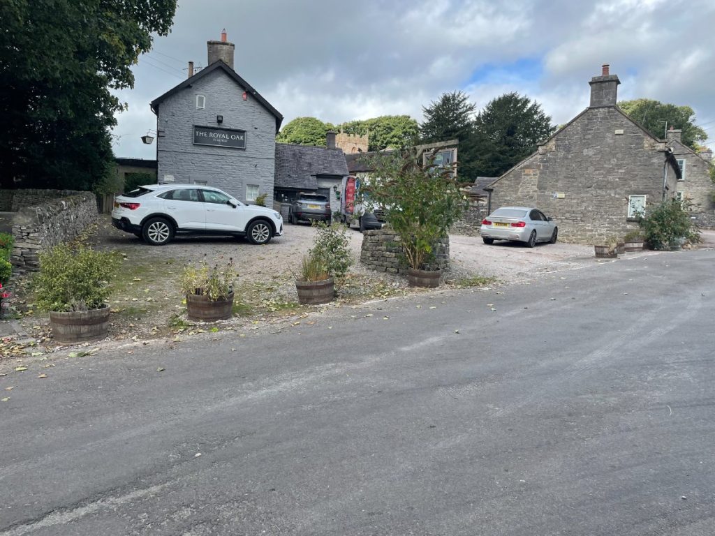
2. Turn left again, walking uphill past the Royal Oak Pub and the crossroads.
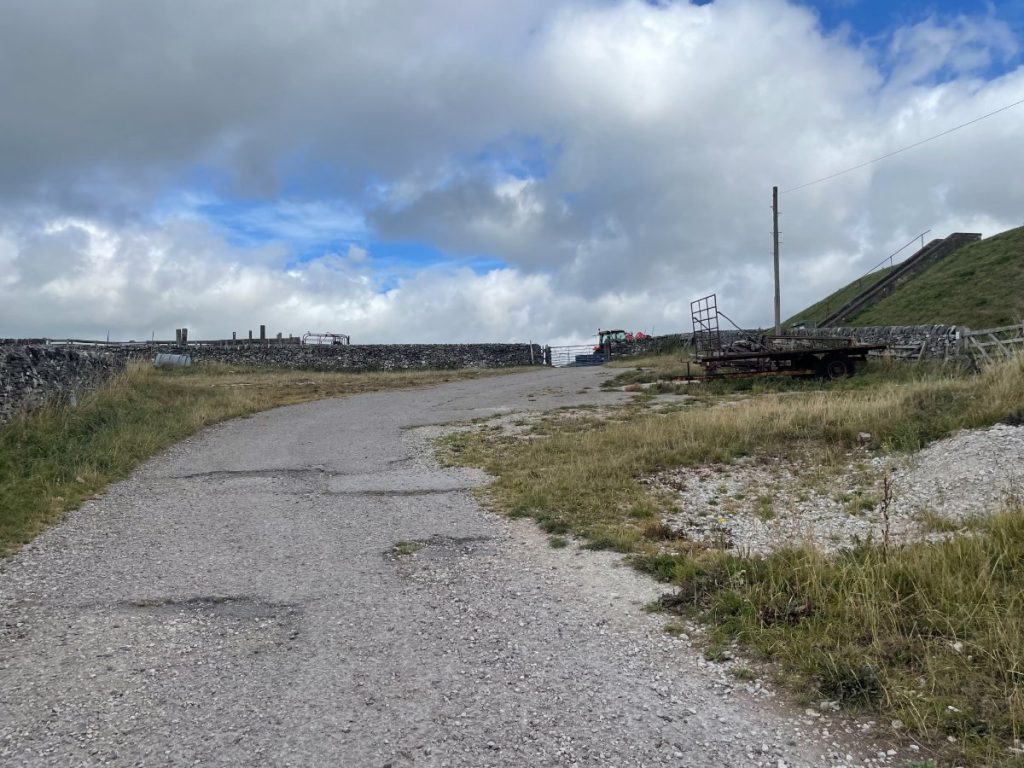
3. Follow the track to the gate at the end of the road. Ignore the sign for “Thor’s Cave” here – we’re taking the longer route. If you’d like the short, direct option, you can follow it instead.
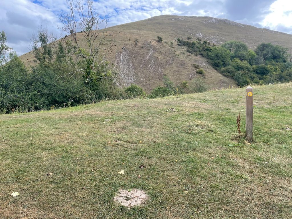
4. Go through several gates and stiles, crossing fields with wide views over the Staffordshire Moorlands.
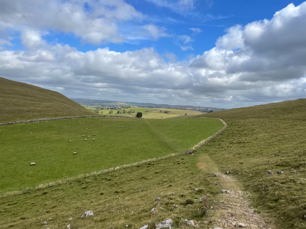
5. At the bottom, the path splits. Take the right path across the field.
💡 Shorter option: If you’d like to cut about an hour off the walk, take the left path. This follows the stream downhill, rejoining the Manifold Valley later on.
6. Continue to the field corner, cross the footbridge and stile, then climb a steep incline.
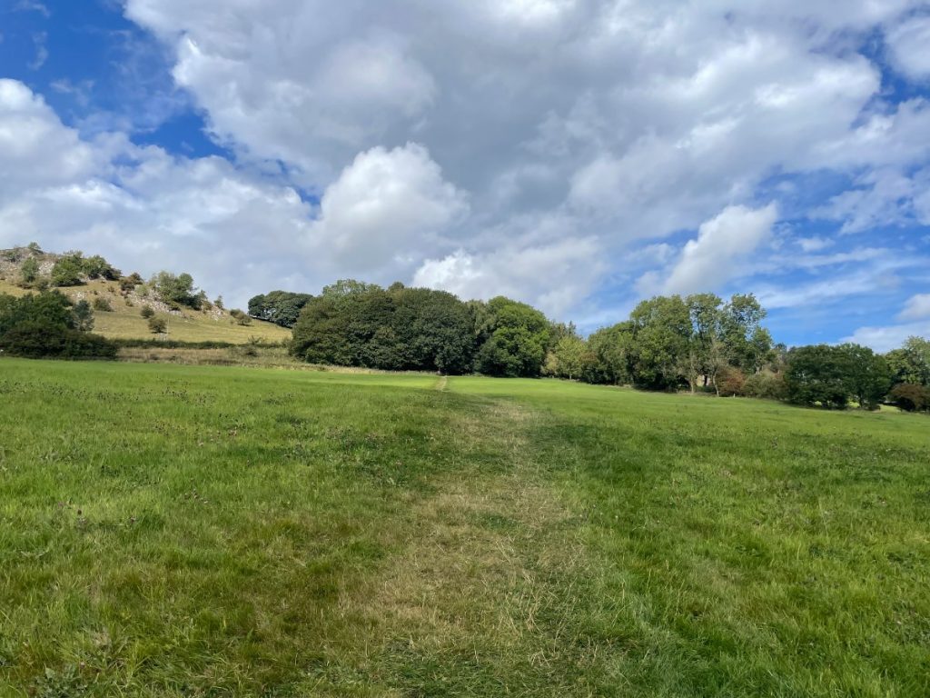
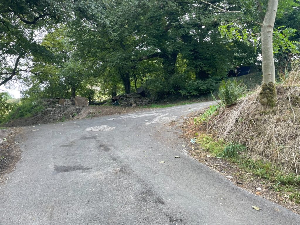
7. At the top, enter woodland, turn right, and follow the path until you reach the tarmac road. Then turn left on the road, then right as it winds uphill.
8. At the gate on the bend, follow the footpath.
9. The path descends steeply into the valley. It can be very loose underfoot due to erosion, so take your time.
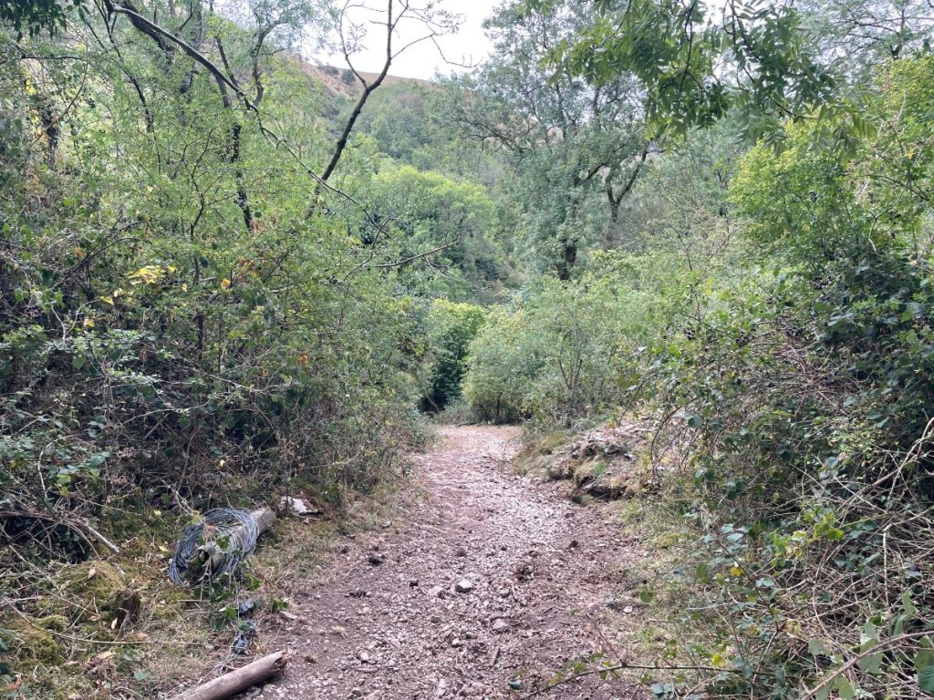
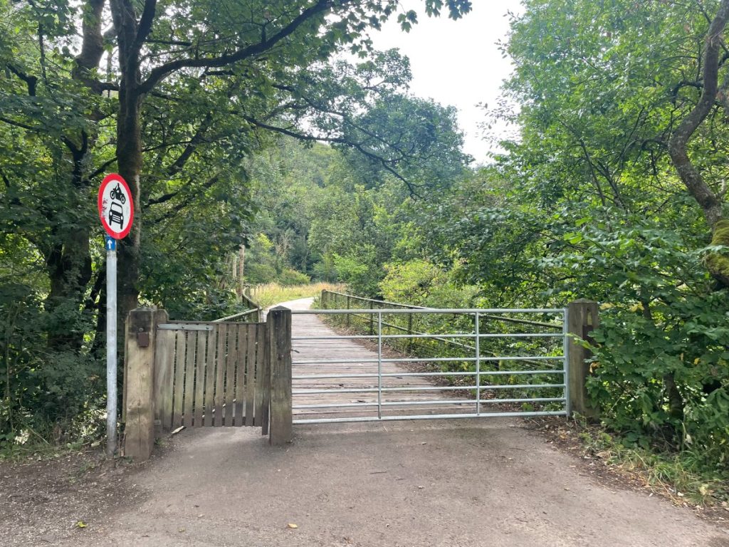
10. Go through the gate between Dale Farm. Don’t worry, this is a public right of way.
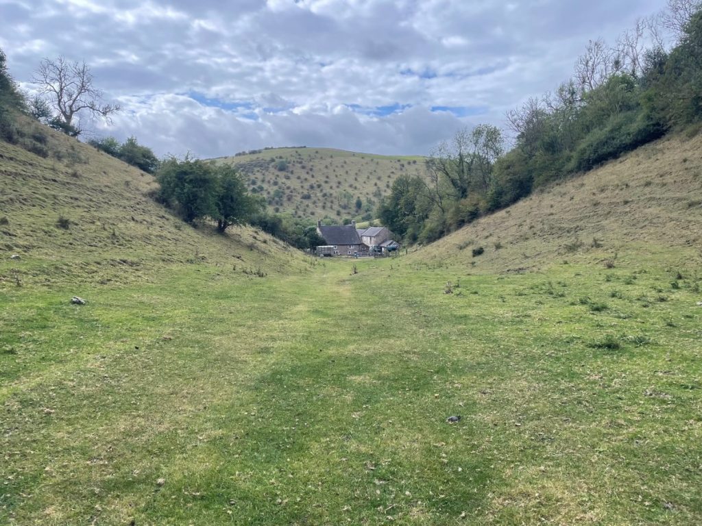
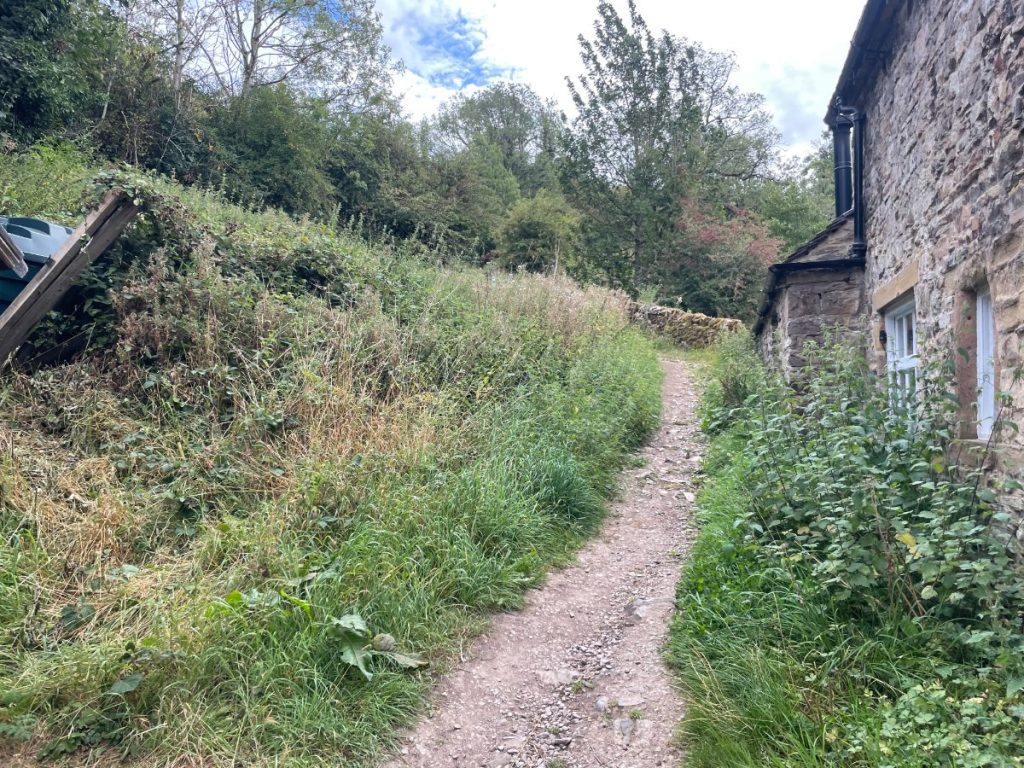
11. Continue along the road past a campsite and Wetton Mill Tea Rooms. The footpath is tucked between the buildings.
12. Follow the footpath as it climbs and drops back into the valley.
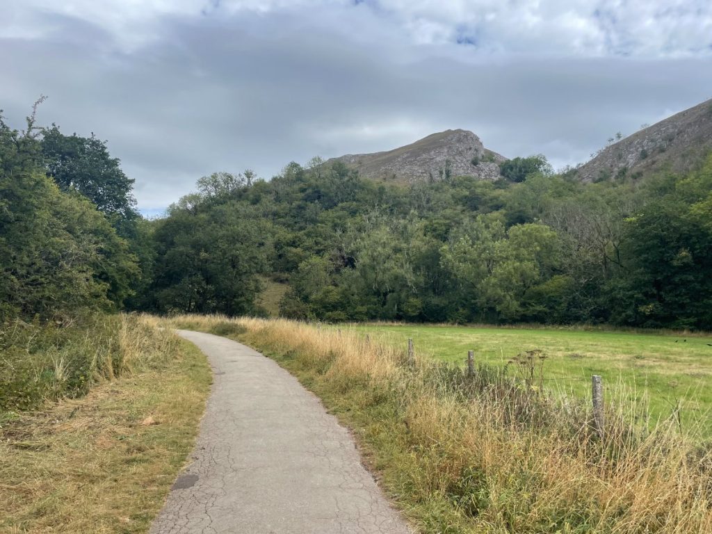
13. Cross the road and bridge, joining the hard path of the Manifold Valley and white peaks countryside. On busy days, watch for cyclists as the path is narrow.
14. Soon you’ll see Thor’s Cave high on the hillside. Take the path left across the footbridge, then climb uphill. The path zigzags with steps on the steeper sections.
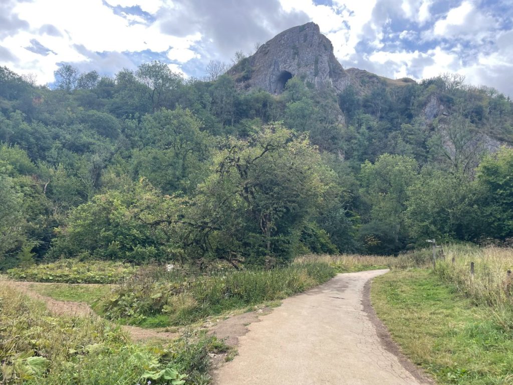
15. At the top, you’ll reach the cave entrance to Thor’s Cave and a small viewing platform. It can get crowded here, especially in good weather. Explore at your leisure.
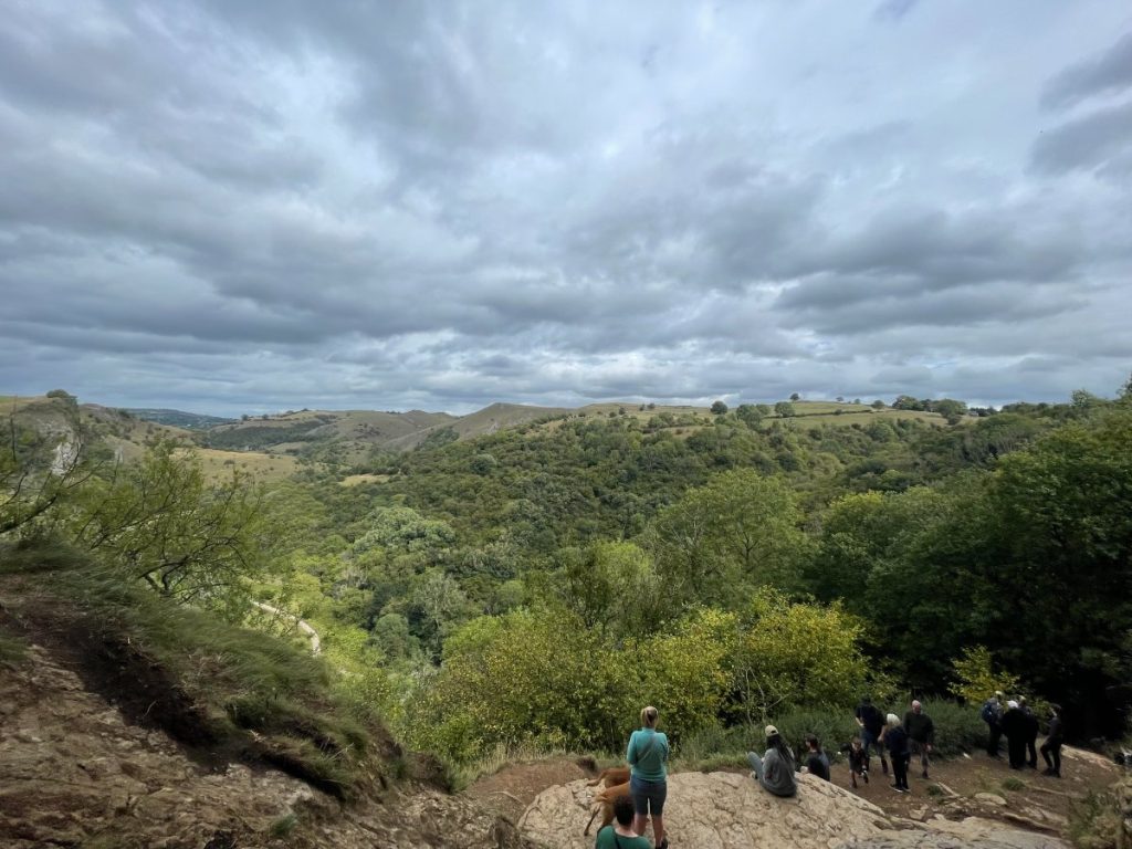
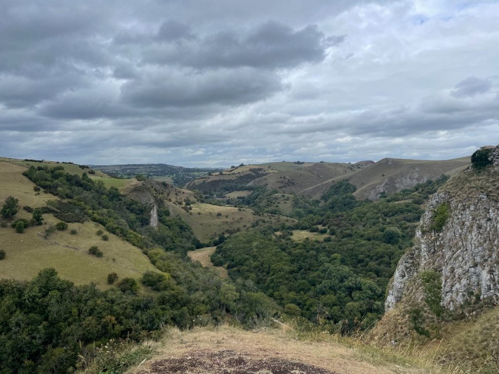
16. From the cave, follow the path up the outside of the crag. This leads to the viewpoint above, with spectacular views over the valley.
17. Return the same way, through the gate and along the path leading back towards the village.
18. Turn right at the road, follow it past the stone wall, and you’ll arrive back at the car park and public toilets.
- Daypack: Choose a 10-20L daypack to carry all your gear comfortably.
- Clothing: Wear layered, moisture-wicking clothing and pack a waterproof jacket and waterproof trousers for changing weather.
- Footwear: Sturdy walking boots or trail shoes are essential for the varied terrain.
- Water & Snacks: Carry enough water (at least 1L per hour) and bring energy-rich snacks.
- Navigation: Always have a map and compass, and optionally, bring a reliable GPS app to stay on track.
- First Aid Kit: Include essential items like blister treatments and painkillers. A compact First Aid Kit is ideal.
- Emergency Items: A headtorch, whistle, and multi-tool can be vital in unforeseen situations.
Please note some of these links may earn us a commission from qualified purchases at no additional cost to you, which helps fund the free content we provide.
Amenities & Facilities Near Thor’s Cave
- Public Toilets – Available at the main car park in Wetton.
- The Royal Oak Pub, Wetton – A historic pub with over 400 years of history. Records of landlords go back to the 1700s.
- Wetton Mill Tea Rooms (by the river) – Cosy tearooms in the heart of the Manifold Valley, serving homemade food and fresh drinks.
- Wetton Tea Rooms (in the village) – A small, friendly tearoom located in the centre of the village.
- Manifold Valley Campsite – A peaceful spot if you’re looking to stay near the route.
Accommodation – Rooms are available at The Royal Oak, and there are also charming cottage stays at Wetton Barns Holiday Cottages.
A quick note on supplies:
While there are some bins, shops, and places to eat nearby, they can get busy, especially in peak seasons. It’s a good idea to bring everything you’ll need for your visit and be prepared to take your rubbish home with you.
Exploring the Cave
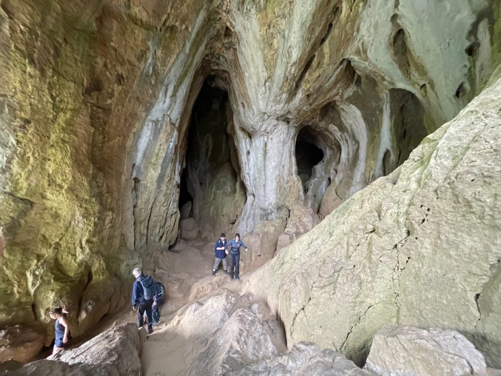
The popular Peak District cave itself isn’t very deep, but entering it does involve a short scramble. Due to the number of visitors, the rock has become smooth and can be slippery, especially in wet weather. Grippy footwear is strongly recommended, and it’s best to avoid climbing in if conditions are damp.
There’s a video below of the cave, but even that doesn’t quite capture the full experience.

History & Significance of the Area
Archaeological Evidence: Excavations conducted in the 19th and early 20th centuries uncovered artefacts suggesting the cave was occupied from the end of the Palaeolithic period through the Iron Age and Roman period. Finds include stone tools, pottery, bronze items, amber beads, and human and animal remains.
Ancient Burial Site: The cave is believed to be an ancient burial site, with the remains of at least seven people found during excavations.
Geological Formation: Thor’s Cave is a karst cave formed in a limestone crag. The limestone itself was formed from the deposition of shell debris and mud between 280 and 360 million years ago, when the area was a warm, shallow sea.
Name Origin: The origin of the name is uncertain. One theory is that it derives from the Old English word “tor,” meaning rocky peak. Another suggests a link to the Norse god of thunder, Thor, but evidence for this is lacking.
Cultural Reference: The cave has been featured in several films, including Hawk the Slayer (1980) and The Lair of the White Worm (1988), and was used in the music video for The Verve’s 1993 single “Blue”.
The Leek and Manifold Valley Light Railway (L&MVLR) operated from 1904 to 1934, running for 8.25 miles (13.3 km) through the Manifold and Hamps Valleys. It was a narrow-gauge railway built under the Light Railways Act of 1896 to serve the local community and tourist trade.
The railway’s main purpose was to transport milk from local dairies, but it also provided passenger services to the villages and beauty spots along its route, including a station for Thor’s Cave.
The railway’s coaches were designed with tourists in mind, featuring large windows to showcase the scenery and open balconies.
After the railway closed, the route was acquired by Staffordshire County Council, and in 1937, it was converted into a paved footpath known as the Manifold Way or Manifold Track.
The Manifold Way
Today, the Manifold Way is a well-known trail for walkers, cyclists, and horse riders. It is surfaced and relatively level, making it accessible for people with limited mobility, those using wheelchairs, or families with buggies.
The trail follows the course of the River Manifold and takes visitors through scenic landscapes with wooded slopes and dramatic rock formations.
Along the route, you can find remnants of the railway’s past, and the former ticket office at Hulme End now serves as a visitor information point.
You can learn more about the railway in a video exploring the remnants of the old station and track.

FAQs
Why is it called Thor’s Cave?
The name’s origin is uncertain. It may come from the Old English word tor, meaning rocky peak, rather than from the Norse god Thor.
Is Thor’s Cave a hard walk?
The walk to Thor’s Cave is moderate. The shorter route from Wetton takes around 20–30 minutes but involves steep climbs. Longer circular routes are around 8 km and take 2.5–3 hours.
Is Thors Cave safe for kids?
Yes, but with caution. The cave entrance is slippery from heavy foot traffic, and the climb inside requires care. Proper footwear is essential, and it’s best avoided when wet.
How old is Thor’s Cave?
The limestone was formed 280–360 million years ago. Archaeological finds show humans used the cave from the Palaeolithic through to the Roman period, with evidence of burials and settlement.
Are there toilets at Thors Cave?
There are no toilets at the cave itself. Free public toilets are available at Wetton Car Park in the village, where most people start the walk.
What was filmed at Thors Cave?
Thor’s Cave has appeared in several productions, including Hawk the Slayer (1980), The Lair of the White Worm (1988), and The Verve’s music video for Blue (1993).
What is the folklore of Thor’s cave?
Local stories suggest the cave was named after the Norse god Thor, but evidence points more towards “tor” meaning rocky hill. Its dramatic setting has kept legends alive over the centuries.
What village is near Thor’s Cave?
The nearest village is Wetton, which is the main starting point for most walking routes to the cave.