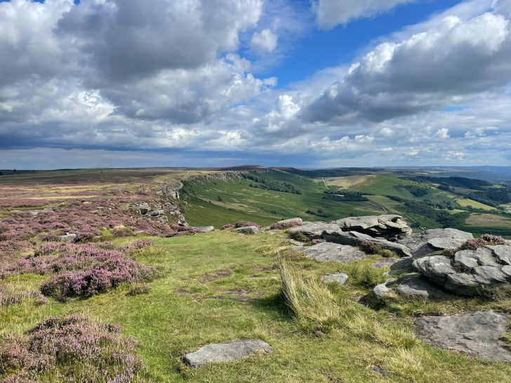

Stanage Edge, is a prominent feature of the Peak District, with its striking cliffs and just a short distance from the equally breathtaking Bamford Edge.
Delve into a majestic walk along the rugged escarpment, with this circular route extending over 7km with the option to increase or decrease at your leisure.
So brace yourself for a steep incline, but a worthwhile view!
Getting to Stanage Edge
Stanage Edge is best accessed by car, with Hollin Bank car park being the main parking spot, managed by the Peak District National Authority.
Public transport options are limited, making driving the most convenient way to reach the site.
Stanage Edge – By Car & Parking
For those journeying to Stanage Edge by car, several parking options are available near Hollin Bank, situated below Stanage Edge, offering glimpses of the landmark as you park.
Hollin Bank Car Park (Paid)
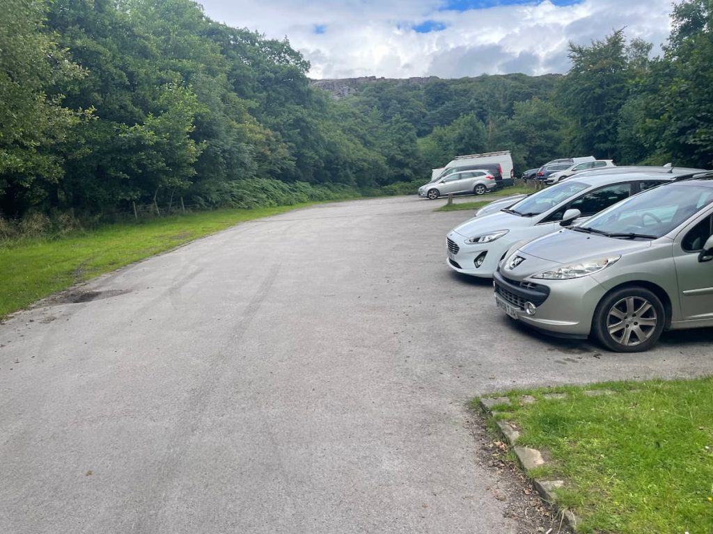
Hollin Bank Car Park is the primary official parking facility for Stanage Edge, operated by the Peak District National Authority and serving as the starting point for the route discussed in this guide.
Although amenities are limited, visitors can access a free toilet and picnic benches.
The parking charges are outlined below:
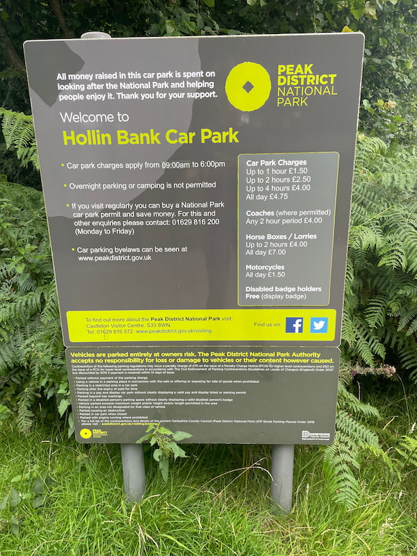
For cars, the price is as follows:
- Up to 1 Hour: £1.50
- Up to 2 Hours: £2.50
- Up to 4 hours: £4.00
- All day: £4.75
What Three Words address: ///lows.spicy.curry
Postcode: Not accurate
Laybys & Roadside Parking (Free)
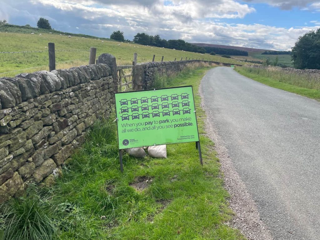
The Peak District National Authority advises visitors to utilise the officially paid Hollin Bank Car Park to support area maintenance and prevent road obstructions.
However, if Hollin Bank is at capacity, which can happen on busy days, alternative roadside parking spots are available at the following locations:
Note: These alternatives might necessitate an extended walk or using a different path to approach the cliffs. Also, use common sense and your own discretion not to block the road and park appropriately.
Public Transport
Unfortunately, there’s no direct public transport link to Stanage Edge from what I can see.
The nearest available option is a train to Hathersage in Hope Valley, followed by a 50-minute walk – a less-than-ideal solution.
Stanage Edge Walking Maps & Routes
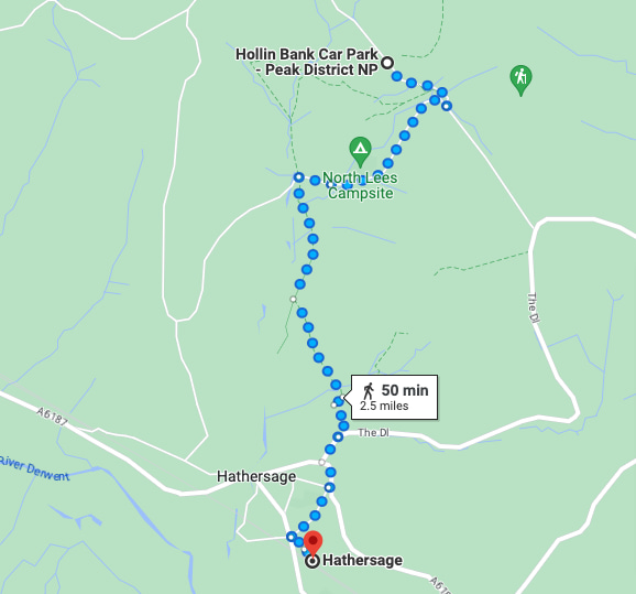
Download file for GPSThe walk begins with a steep climb from Hollin Bank car park through a wooded area. Soon, you reach the top of the cliffs and follow the path along the ridge to High Neb, the highest point of Stanage Edge, perfect for photos. The trail then winds down beneath the cliffs, looping back to the start.
You can also visit nearby Robin Hood’s Cave if you wish. The route is flexible, allowing you to extend or shorten the walk as needed.
Which hiking map app should I use? I recommend OS Maps Online for its unparalleled accuracy. However, if you’re a beginner, you might find AllTrails to be more user-friendly. For a detailed review of the best UK map apps, read my full review.
Stanage Edge Circular Route: 7km (4.9 miles) – 2-3 Hours
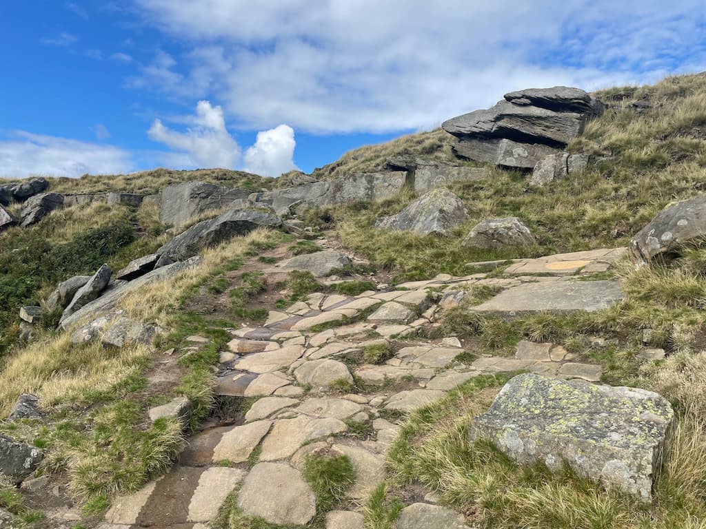
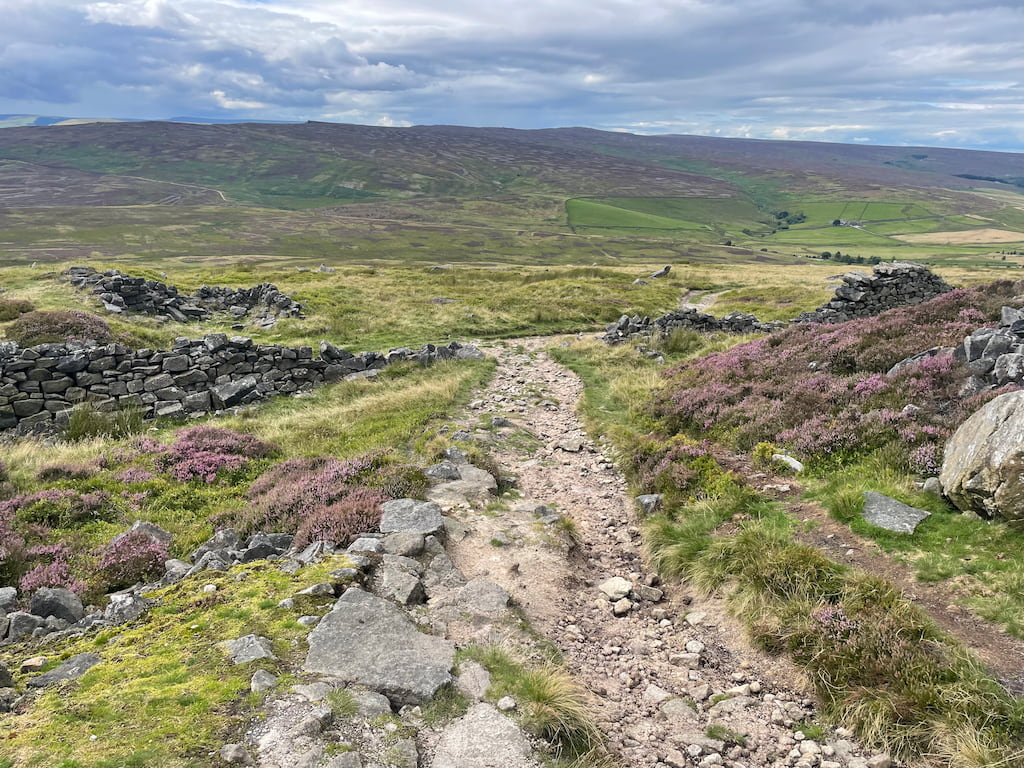
- Commence at Hollin Bank car park. Exit from the back or side and set your sights on Stanage Edge as you make your way up the hill. Here, you’ll have an unobstructed view of the entire ridge.
Note: Brace yourself for the steepest part of the climb, a swift ascent that promises to be rewarding.
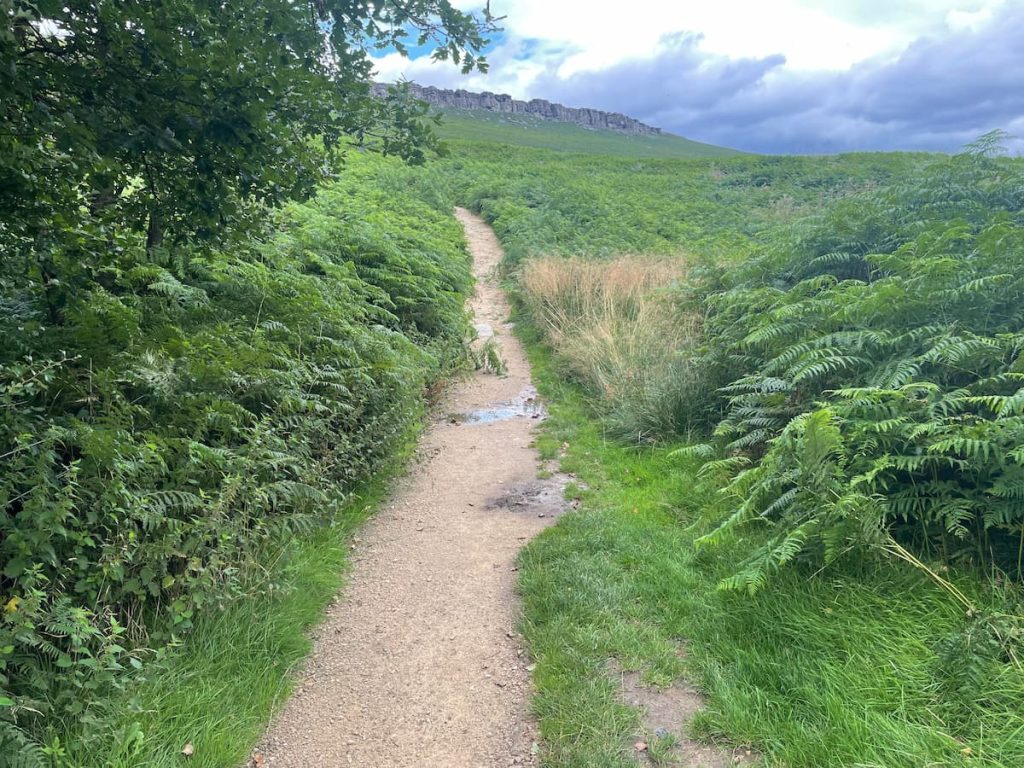
- Follow the path until you reach a gate that leads into a wooded area peppered with bouldering spots.
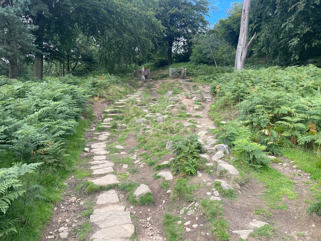
- Continue your ascent, emerging from the trees to passing through another gate, then through a stone wall.
- As you approach the summit, note a path that loops back. Ignore this and, instead, climb up on the left side until you intersect a well-defined path.
- Shortly, you’ll spot a distinct path to your left leading below Stanage Edge. Pick the path on the right that runs atop the ridge.
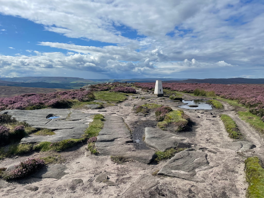
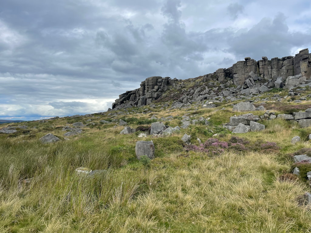
- Hop over the stile and continue upwards to High Neb, identified by its white trig point.
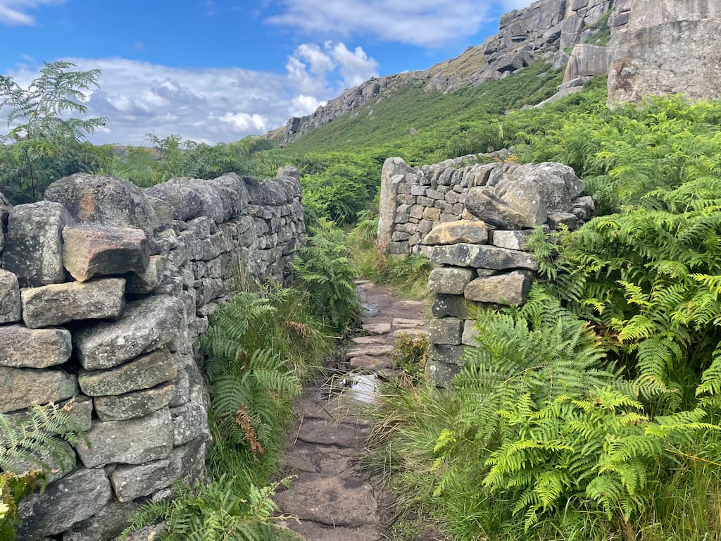
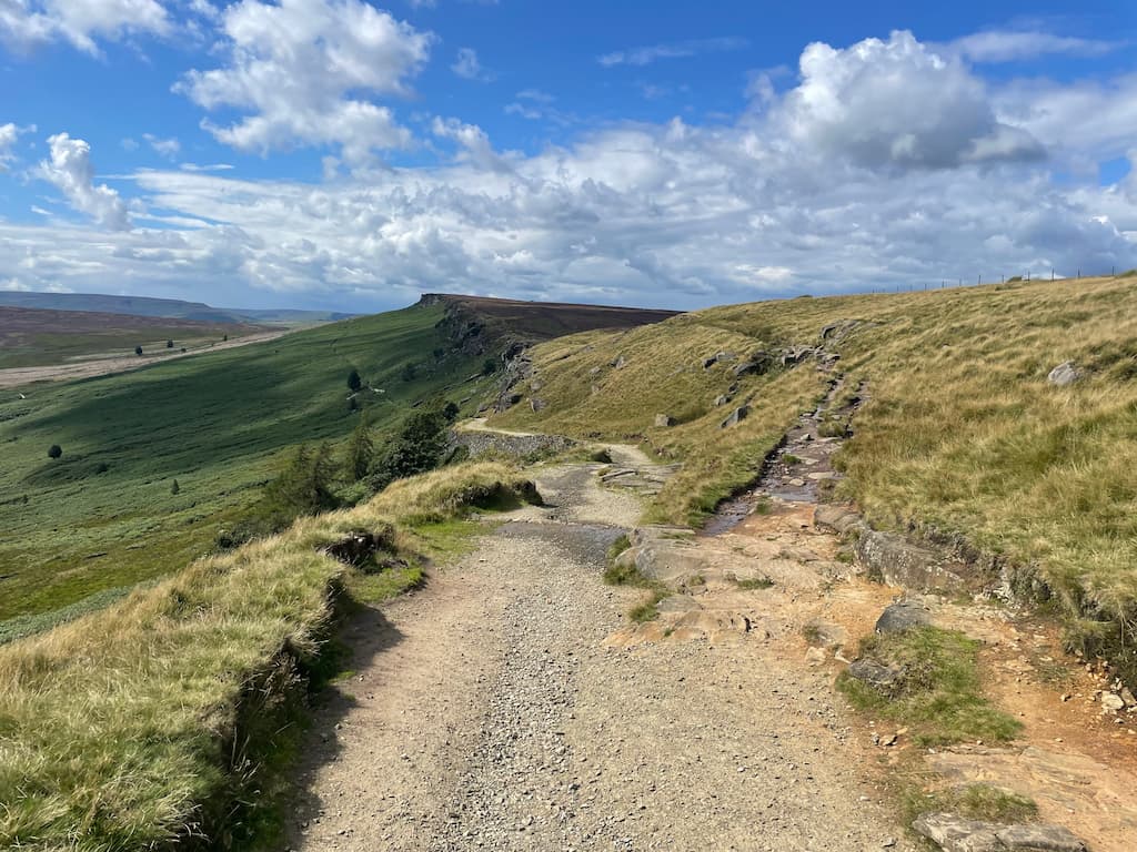
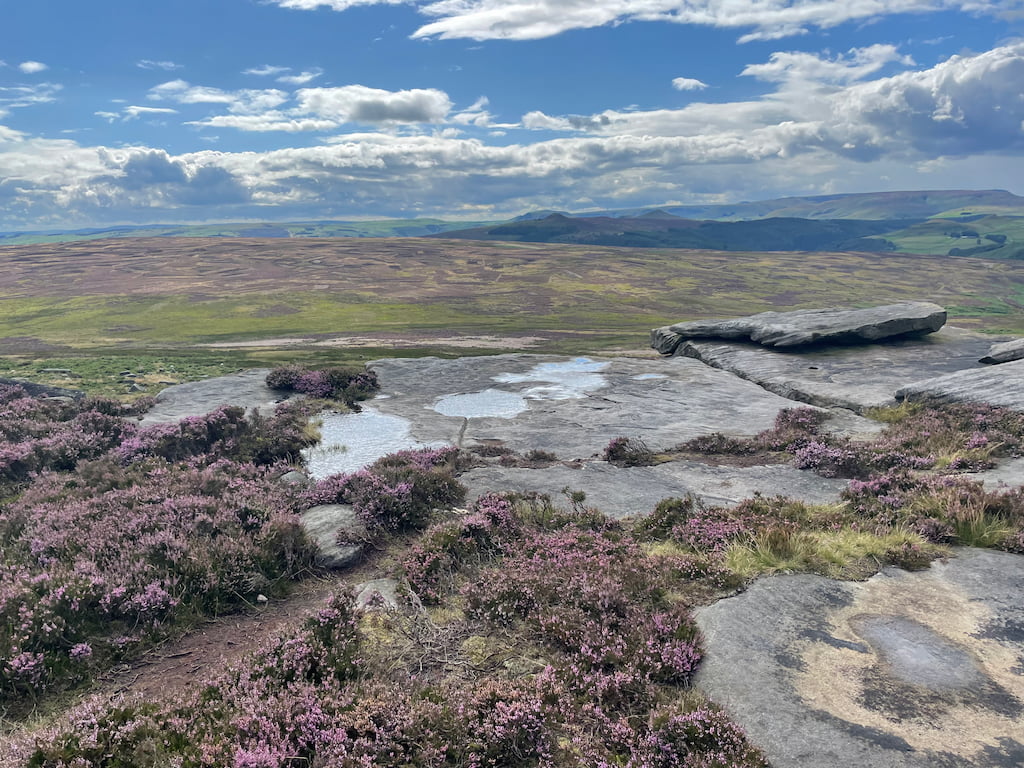
- With the ascent behind you, the path now meanders alongside the cliffs to the edge’s end, which is pretty flat.
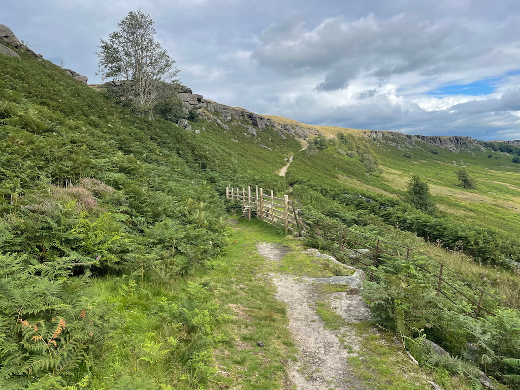
- Here, you can turn back or opt for the path that descends and loops beneath the edge. If you choose the latter, make a left when you encounter a broken wall.
- Stroll in the gentle shadow of Stanage Edge, winding your way back.
A word of caution: the terrain here was notably boggy during my visit.
- The path eventually crosses a wooden stile before merging with a main trail, leading you uphill back to the Edge. Recognise this? It’s where you diverged earlier. Retrace your steps downhill, navigate through the wooded stretch, and you’ll find yourself back at Hollin Bank car park.
- Daypack: Choose a 10-20L daypack to carry all your gear comfortably.
- Clothing: Wear layered, moisture-wicking clothing and pack a waterproof jacket and waterproof trousers for changing weather.
- Footwear: Sturdy walking boots or trail shoes are essential for the varied terrain.
- Water & Snacks: Carry enough water (at least 1L per hour) and bring energy-rich snacks.
- Navigation: Always have a map and compass, and optionally, bring a reliable GPS app to stay on track.
- First Aid Kit: Include essential items like blister treatments and painkillers. A compact First Aid Kit is ideal.
- Emergency Items: A headtorch, whistle, and multi-tool can be vital in unforeseen situations.
Please note some of these links may earn us a commission from qualified purchases at no additional cost to you, which helps fund the free content we provide.
Stanage Edge Amenities & Facilities
There are no nearby pubs or shops next to Stange Edge.
The nearest shops and pubs are in Hathersage or Bamford, just a short drive away.
In Hathersage or Bamford, you have the:
- Hathersage:
- Pub: The Scotsmans Pack Country Inn
- Bamford:
- Petrol Station & Car Wash: Texeco
- Corner Shop: Nisa Local (Open 24hrs!)
- Pubs: The Anglers Rest, Bamford Or Yorkshire Bridge Inn next to Ladybower reservoir
Stanage Edge Climbing
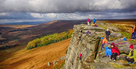
The 3.5-mile edge offers over 2,000 climbing routes, making it an adventurous playground for climbers nationwide.
The diversity of climbing conditions is staggering – slabs, walls, cracks, and overhangs all coexist in a beautiful, chaotic harmony.
So if you are interested in climbing here, four are particularly noteworthy.
- Flying Buttress Direct (E1 5b) provides a thrilling climb across a seemingly intimidating roof.
- Mississippi Buttress Direct (VS 4c) threads an elegant line through an impressive steep buttress.
- Left Unconquerable (E1 5b) offers a peaceful climbing experience away from the bustling end.
- Not to be Taken Away (E1/E2 6a) is an aesthetic boulder problem located within the Stanage plantation area.
Stanage’s rock is sound and stable, reducing risks associated with loose rocks or falling stones.
Stanage Edge promises an adrenaline-filled, challenging climbing experience for all.
Stanage Edge Walk – FAQs
How high is Stanage Edge?
Stanage Edge reaches its maximum height at High Neb, which stands at 458 meters (1,503 ft) above sea level.
How long is the Stanage Edge Walk?
The Stanage Edge Circular route mentioned in the information provided is 7km (or 4.9 Miles) in length and can typically be completed in 2-3 hours.
However, this can be extended or shortened depending on individual preferences.
Is the Stanage Edge walk difficult?
The initial part of the Stanage Edge walk can be challenging due to a steep gradient, but it is generally manageable for most walkers. Once the cliffs at the top are reached, the terrain becomes much flatter.
How far is Stanage Edge from the car park?
Stanage Edge is approximately a 10-15 minute walk from the car park.
If you enjoyed this walk, be sure to explore other edge walks nearby, like Bamford Edge or Curbar Edge, both just a short distance away.
Karl_the_bird_watcher
Thursday 4th of July 2024
Great to see Stanage Edge getting love. Remember, folks, to keep it tidy for the birds and the bees. It's a stunning place, but let's keep it that way, eh?
Tommy87
Monday 10th of June 2024
Considering trying climbing at Stanage Edge this weekend. I've never climbed before; the article mentioned it's a good spot but didn't explain if there are routes for absolute beginners. Does anyone have tips for a first-timer?
Dave R
Friday 29th of March 2024
whats the parking sitch like on weekends?
JanetP
Thursday 4th of July 2024
Dave, gets pretty full by mid-morning. Go early!
SuzzieQ
Saturday 17th of February 2024
love stanage edge so much, walks there r beaut. great article thnks.
Graeme L
Wednesday 20th of December 2023
Paid parking? Everything's about money now.