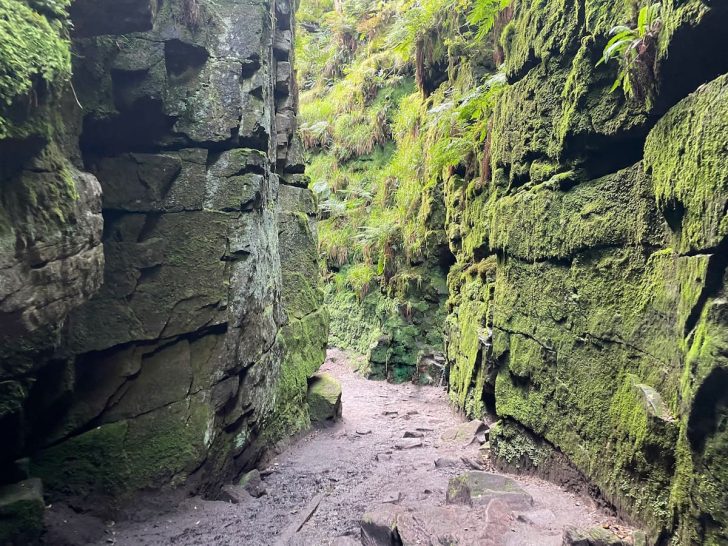
Explore the mysterious Lud’s Church walk, a deep chasm hidden within the forest on the edge of the Peak District National Park.
Lace up your walking boots—it can get muddy! Here’s everything you need to know before your visit.
Getting to Lud’s Church
The area around Lud’s Church is best reached by car, as public transport options from Leek or Buxton are limited and don’t stop close to the starting point of the walk.
If you need to use public transport, the 108 bus from Buxton to Leek stops on the A53, followed by a 20-minute walk to the trail.
Parking at Lud’s Church
While Gradbach Car Park is the closest to Lud’s Church, I recommend starting from The Roaches to enjoy a more scenic circular walk.
If you start from The Roaches, there are several parking options, including:
Roach Rd (Free)
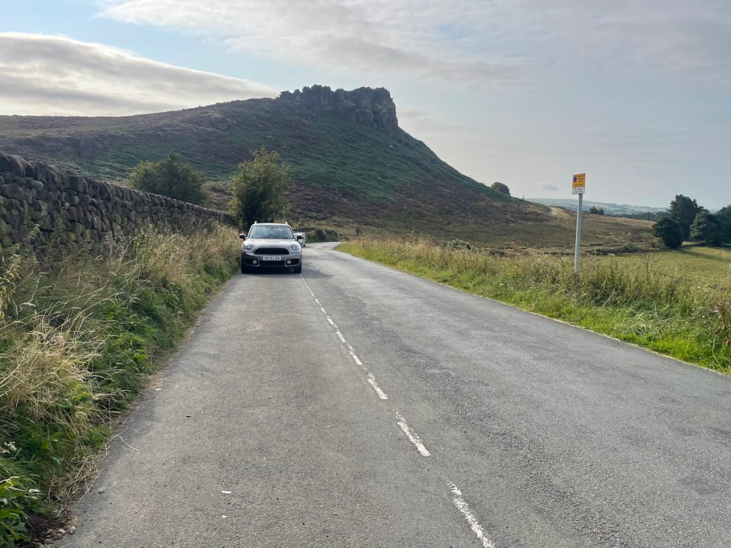
- Address: Roach Rd, Leek ST13 8UA
Parking on Roach Rd extends over a considerable stretch, beginning at ///offstage.catchers.fizzy and concluding approximately a kilometre further at ///acclaimed.tasty.ordering. If you arrive early enough, there are plenty of spots.
Local authorities are strict about issuing fines for vehicles parked outside designated areas, so be sure to park within the specified zones.
Roaches Tea Rooms & Restaurant (Paid)
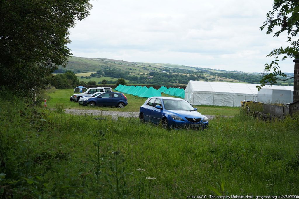
- Address: Paddock Farm, Roach Road, Upper Hulme, Leek, Staffordshire Moorlands ST13 8TY
- Cost: A few quid for the day (Cash only)
While there aren’t any official car parks for The Roaches, the Tea Room offers parking nearby for a small fee.
If you’re looking for the closest spot to Lud’s Church, Gradbach Car Park is your best option. However, I recommend starting from The Roaches for a more enjoyable circular walk due to its limited size.
Lud’s Church Walk Map & Route
🟡 Medium | 🚶♂️ 11.4 km (7 mi) | ⛰️ Total ascent: 439 m (1,440 ft) | ⏱️ 3-5 Hrs
Download file for GPSStarting at The Roaches, the trail quickly climbs to the top, offering stunning views. It then follows the ridge edge past Doxey Pool and up to the trig point. From there, it descends and winds through the fields into the woodland where the chasm of Lud’s Church is located. Hike up through the rock formation and out at the top before rejoining the same path and retracing part of the route.
Which hiking map app should I use? I recommend OS Maps Online for its unparalleled accuracy. However, if you’re a beginner, you might find AllTrails to be more user-friendly. For a detailed review of the best UK map apps, read my full review.
Lud’s Church Walk Step by Step – 11.4 km (7mi) ~ 3-5hrs
1. Depending on where you started the walk, head down Roach Road until you reach the main gated entrance to The Roaches.

Looking for a longer walk? If you’d like to extend your hike, consider detouring via Hen Cloud (the pointy rock you’ll see). This adds about 30 minutes to the walk and offers another stunning viewpoint. You can check out the Hen Cloud walk here to include it.
2. Head up the track and through the gate. For this route, we’ll be skirting around the back and approaching from behind.
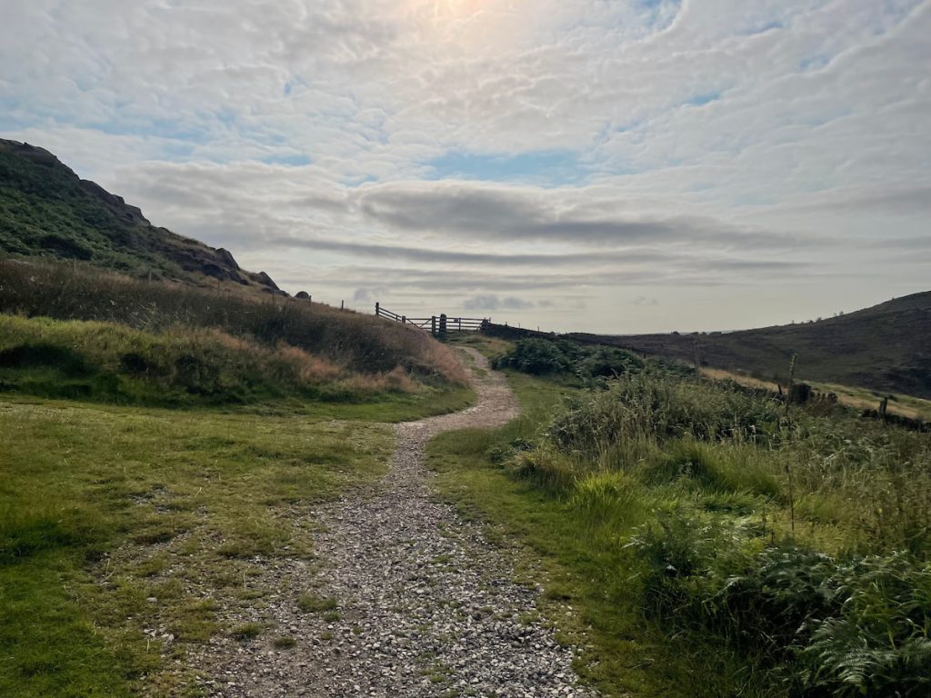
Note: There are several more adventurous, scrambly paths to the top of The Roaches, but the Staffordshire Wildlife Trust asks that visitors stick to the main paths as much as possible to help prevent erosion. This route is also the most accessible.
3. After a short while, you’ll see a bench and a signpost. Follow the path uphill and then to the right, rather than going straight up, as you will see on the map.
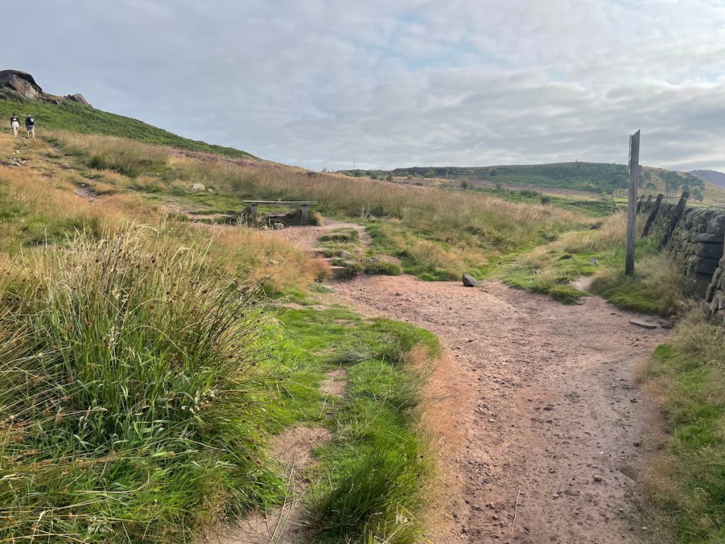
4. Circle around, heading uphill until you reach the top, where several paths converge.
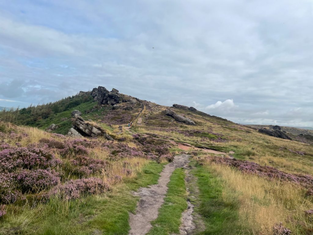
5. Continue following the path upward. After a short while, you’ll pass Doxey Pool. Be sure to look back and take in the stunning views. (Note: You can’t wild swim here)

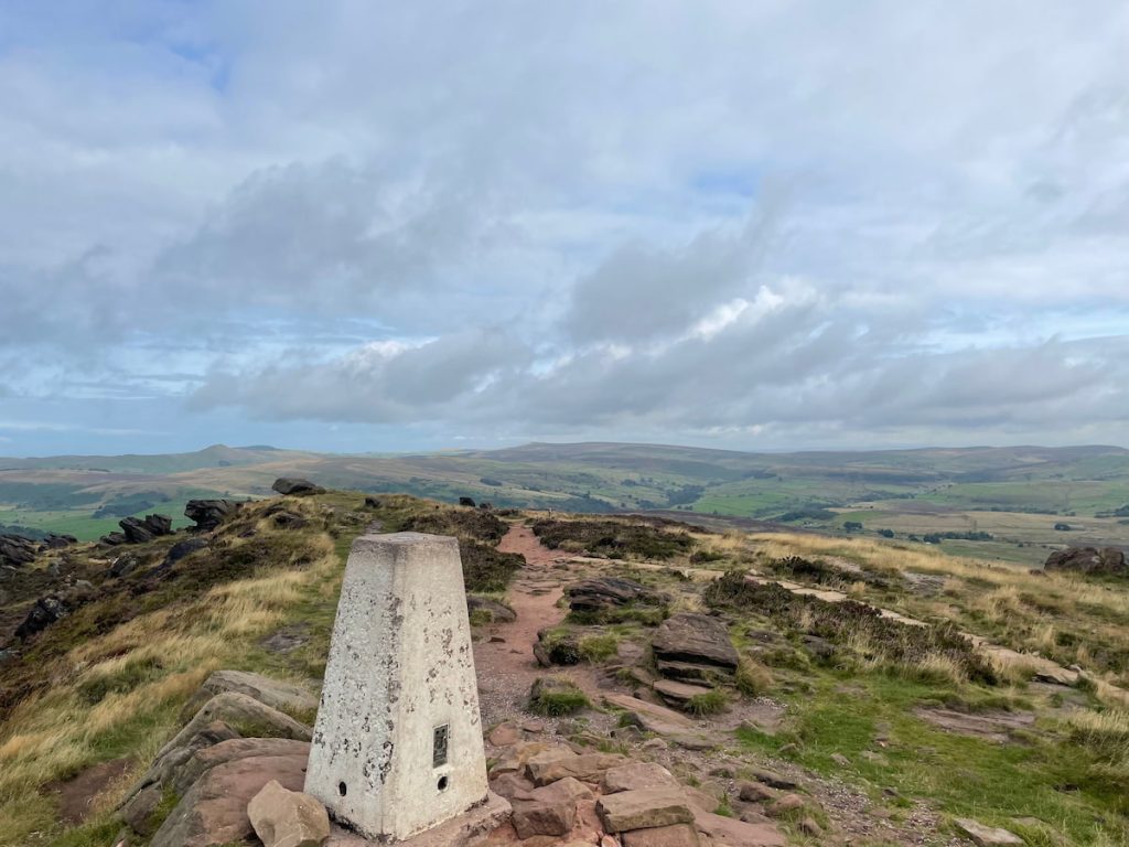
6. Continue along the trail until you reach the trig point, marking the highest point of the walk. From here, you’ll begin a quick descent down to Clough Head Lane via Bearstone Rock.
7. Cross the road and go through the stone stile at Roach End, then follow the stone wall for a few hundred metres.
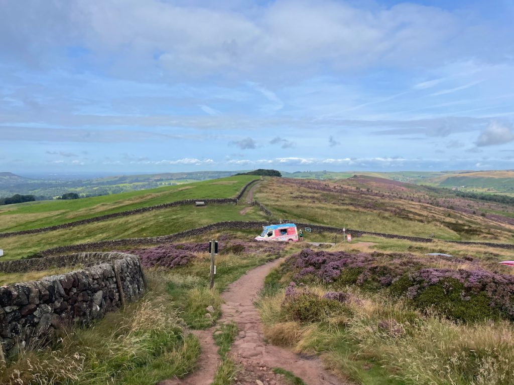
8. Follow the path up and down until you reach a T-junction. Here, take a right, looping back from below.
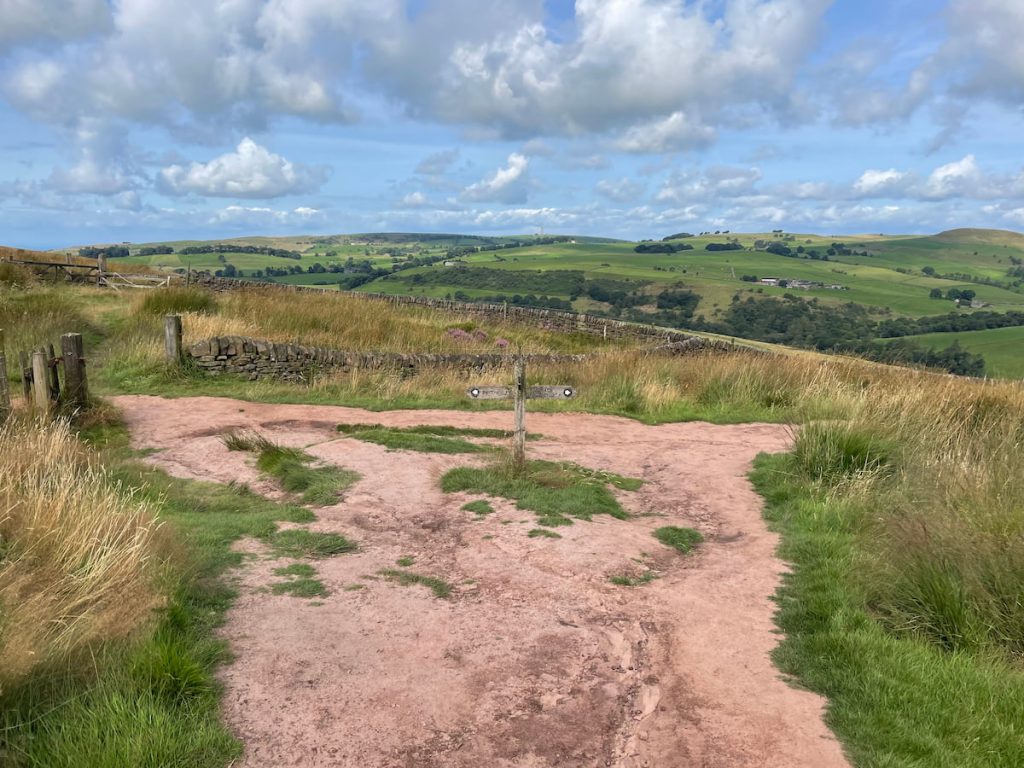
Want to visit another landmark? The path to the left leads to the unique Hanging Stone rock formation.
9. After a short while, you will enter Forest Wood, where the vegetation thickens. Soon, you’ll reach the entrance of Lud’s Church.
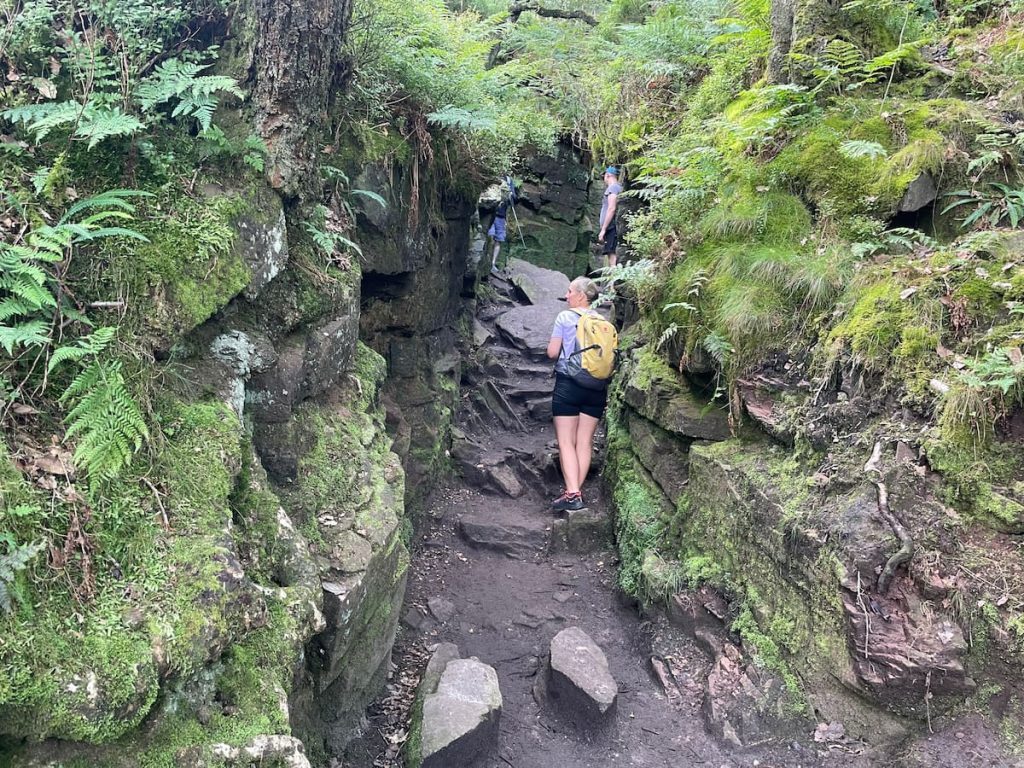
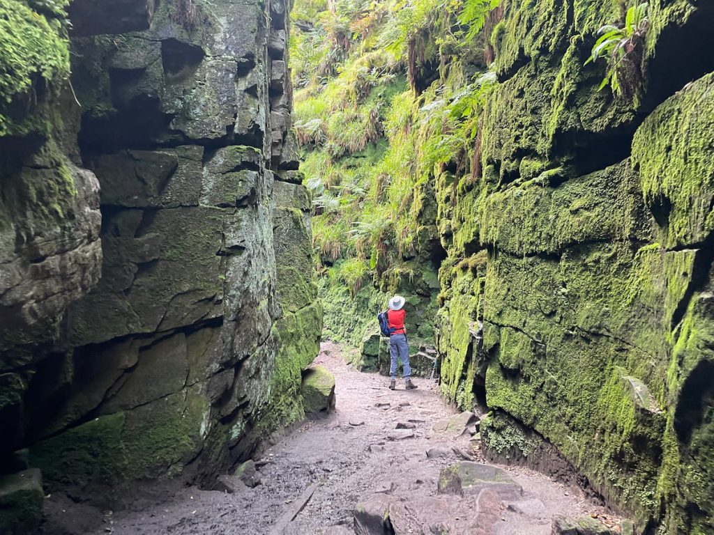
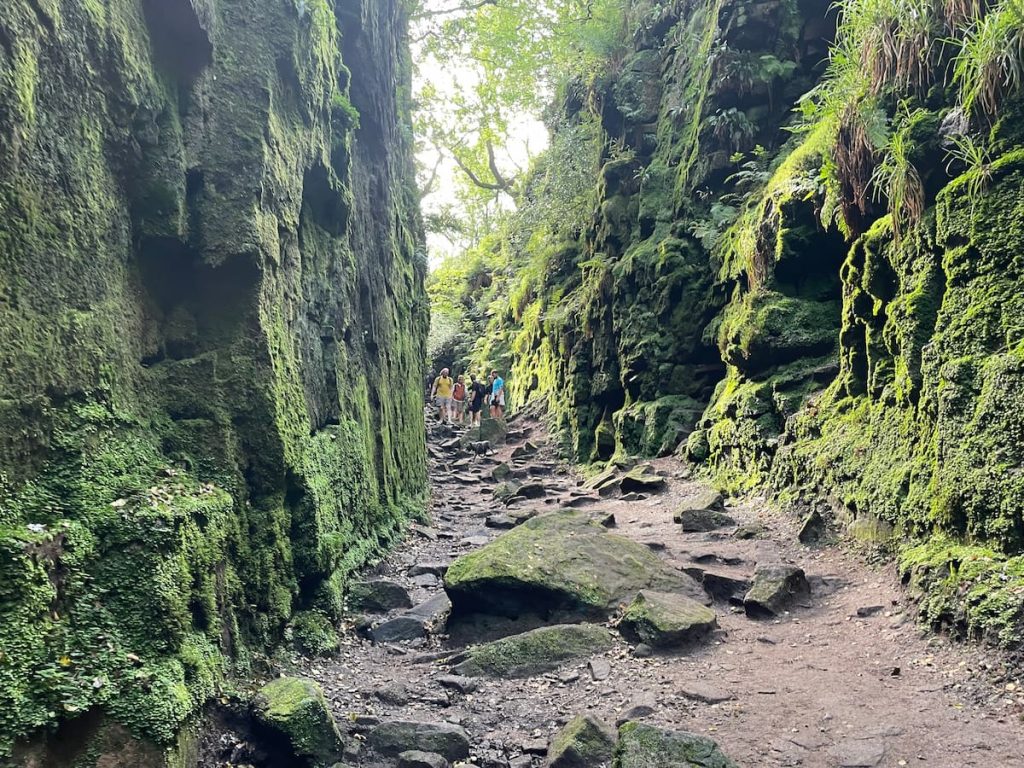
10. Follow the path through the deep cave-like chasm, which stretches around 100 metres. Be cautious, as it can be quite muddy, even with the wooden walkway. Navigate through the lush green walls and up the stairs on the right to exit at the top.
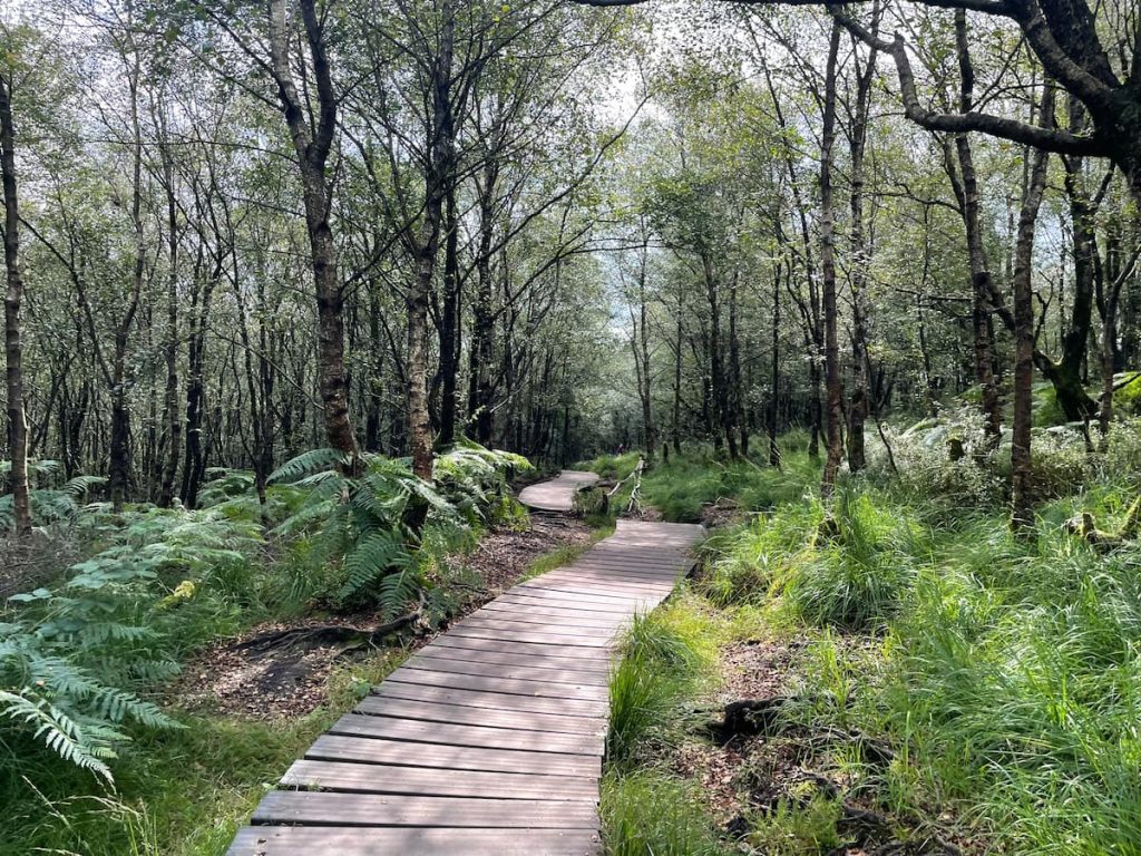
11. Continue along the wooden walkway and follow the path through the forest alongside the River Dane until you reach a path on the right that leads uphill. Climb this steep section until you return to Clough Head Lane. Cross the road and head back up the same path towards The Roaches.
Want to shorten the walk from here? You can follow the lane below the cliff edge of The Roaches all the way back to the main gate where you started. This option avoids uphill climbs but is slightly less enjoyable as it involves walking along the lane.
12. Head back up the footpath towards the trig point and take in the views, this time going in the opposite direction.
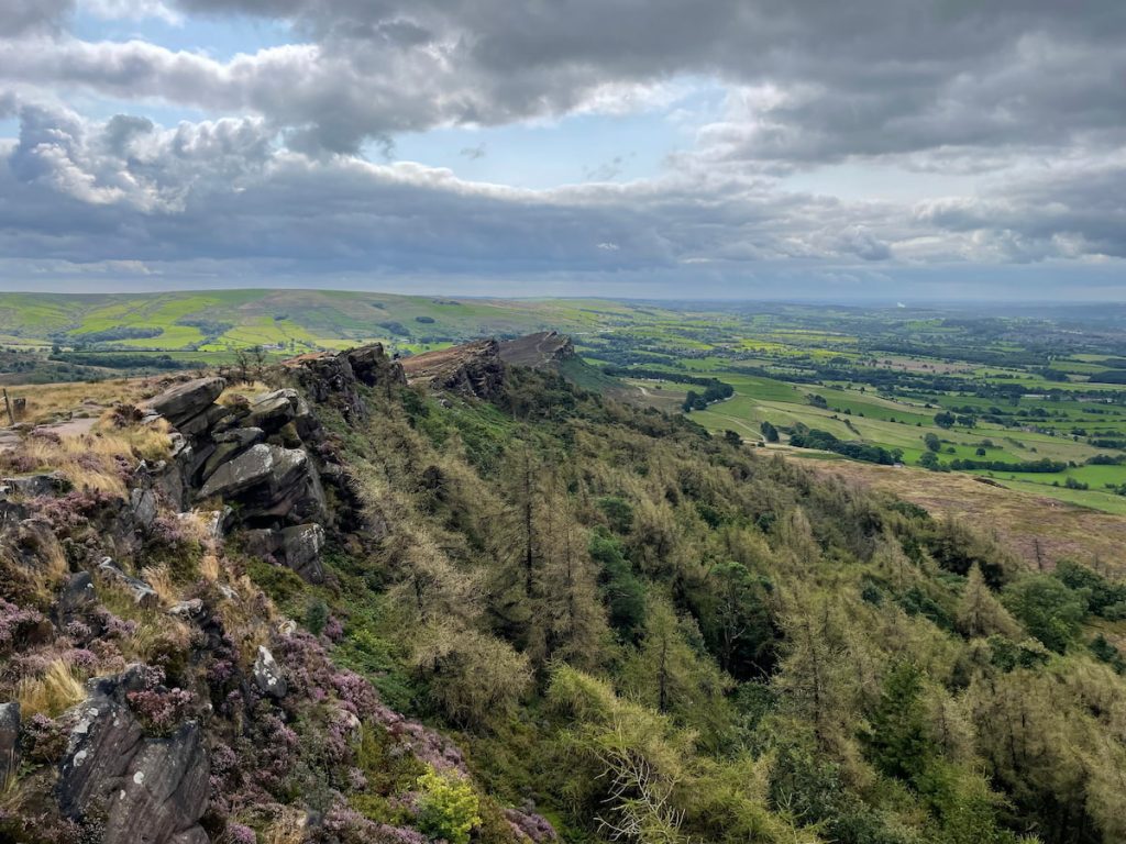
13. Eventually, you’ll return to where the paths intersect at the top of The Roaches. This time, go right and pass through the wooded area. On a busy day, you’ll likely see rock climbers and boulderers on the nearby rocks. Follow one of the paths back to the road, or stick to the one marked on the map, completing your walk.
- Daypack: Choose a 10-20L daypack to carry all your gear comfortably.
- Clothing: Wear layered, moisture-wicking clothing and pack a waterproof jacket and waterproof trousers for changing weather.
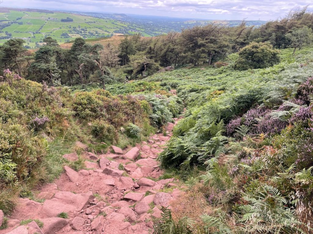
- Footwear: Sturdy walking boots or trail shoes are essential for the varied terrain.
- Water & Snacks: Carry enough water (at least 1L per hour) and bring energy-rich snacks.
- Navigation: Always have a map and compass, and optionally, bring a reliable GPS app to stay on track.
- First Aid Kit: Include essential items like blister treatments and painkillers. A compact First Aid Kit is ideal.
- Emergency Items: A headtorch, whistle, and multi-tool can be vital in unforeseen situations.
Please note some of these links may earn us a commission from qualified purchases at no additional cost to you, which helps fund the free content we provide.
Lud’s Church Amenities & Facilities
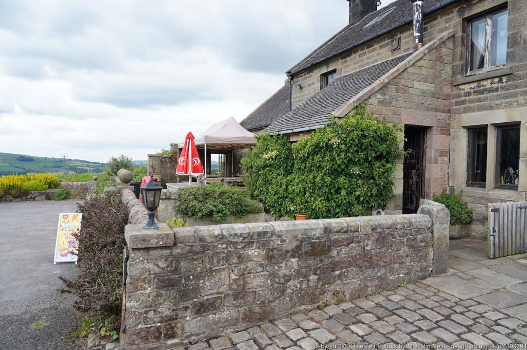
For those in search of refreshments, The Roaches Tea Rooms & Restaurant is conveniently located within walking distance and offers a range of food and drinks.
If you’re craving something heartier or traditional pub, consider:
- Ye Olde Rock Inn: Located a short way down Roach Road, just off the A53.
- The Winking Man: A renowned pub situated along the A53, a mere 5-10 minute drive away.
For a wider selection of amenities, including supermarkets, the nearest towns to The Roaches are Buxton, about a 20-minute drive away, and Leek, roughly 15 minutes in the opposite direction.
You’ll also find Gradbach Mill near the Gladbach scout camp, which has a riverside cafe.
History & Significance of Lud’s Church
Lud’s Church is more than just a striking natural formation; it’s a place steeped in history, legend, and myth.
This deep, moss-covered chasm, created by a massive landslip in the Roaches’ gritstone, offers visitors an otherworldly experience. As you descend into the 18-metre-deep rift, the lush, green walls, perpetually damp and cool, offer a unique atmosphere far removed from the surrounding landscape.
Geological Origins
The chasm was formed within the Roaches Grit, a coarse sandstone from the Carboniferous period.
Over time, faults and weak layers within the rock allowed a large mass to slip downhill, creating the deep, narrow cleft we see today.
A Sanctuary for the Lollards
The chasm’s historical significance is just as compelling as its natural beauty. In the 15th century, Lud’s Church served as a secret place of worship for the Lollards, followers of John Wycliffe, an early church reformer.
Persecuted for their beliefs, these dissenters sought refuge in the hidden depths of Lud’s Church, where they could practice their faith away from the prying eyes of the authorities. The chasm’s secluded nature made it an ideal sanctuary for these early religious reformers.
The connection to the Lollards is so strong that some believe Lud’s Church was named after Walter de Ludank, who was captured here during one of their clandestine meetings.
Myths and Legends
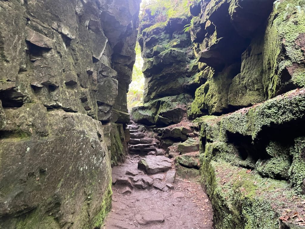
Lud’s Church is also a place of legend. One of the most popular tales is that of Robin Hood and Friar Tuck, who are said to have hidden in the chasm while evading capture. Another more ancient legend suggests that the devil’s fingernail created the chasm as he clawed at the earth.
Perhaps the most intriguing connection is to the medieval poem Sir Gawain and the Green Knight. Scholars have long debated the poem’s geographical setting, and some believe that Lud’s Church could be the “Green Chapel” where Sir Gawain meets the mysterious Green Knight, linking it to one of England’s most enduring medieval tales.
A Place of Spiritual Significance
There’s also a theory that Lud’s Church may have been considered sacred by early Pagans. Some believe that the chasm’s alignment allows sunlight to penetrate its depths at midday on the summer solstice, possibly linking it to ancient sun-worship rituals.
This connection to the Celtic sun god Lugh, anglicised to Lud, maybe another reason behind the chasm’s name.
Frequently Asked Questions
Where is the starting point for Lud’s Church?
The recommended starting point is The Roaches, but you can also start from Gradbach Car Park.
Is Lud’s Church busy?
Lud’s Church can get busy, especially on weekends and during good weather.
How deep is Lud’s Church?
Lud’s Church is 18 metres (59 feet) deep.
How to find Lud’s Church?
There are several paths and signposts through Forest Wood leading to Lud’s Church, making it easy to find.
You can also follow the GPS route provided in this article or use a paper map where it is marked on OS maps.
Why is it called Lud’s Church?
The name is believed to come from Walter de Ludank, a Lollard captured there, or possibly from the Celtic sun god Lugh, anglicised to Lud.
What is the story behind Lud’s Church?
Lud’s Church is historically significant as a secret place of worship for the Lollards in the 15th century.
It’s also steeped in legend, with tales connecting it to Robin Hood, the devil, and the Green Chapel from Sir Gawain and the Green Knight.
Is Lud’s Church a hard walk?
The walk to Lud’s Church is moderately challenging, with some steep and uneven sections.
Lud’s Church postcode?
The postcode for Lud’s Church is SK17 0SU. However, I recommend parking at The Roaches (Roach Road, Leek, ST13 8UA).

