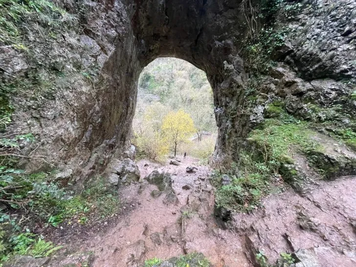

Reynard’s Cave, also known as Reynard’s Kitchen, is a small cave with a stunning portal entrance situated deep in the Dovedale Gorge of Derbyshire’s Peak District National Park.
The cave offers a great adventure, making it a popular point of interest in the area.
Join me as we uncover what you need to know before your visit!
Getting to Reynard’s Cave
Reaching Reynard’s Cave is most conveniently achieved by driving, followed by a scenic 30-minute stroll from the Dovedale Car Park.
As far as I’m aware, public transportation options to the vicinity of Reynard’s Cave are currently NOT available.
Parking at Reynard’s Cave
Dovedale’s National Trust Car Park is the most accessible and spacious car park in the area, making it the best option for most visitors.
If you’re looking for alternatives, there is also parking available in the villages of Milldale, Thorpe, and Ilam, but be prepared for a longer walk from these locations.
Dovedale National Trust Car Park (Paid)
- Address: Dovedale Ave, Ashbourne DE6
- Cost: £5 for 4 Hours, £7 for all day, Free for NT Members
For those primarily visiting the caves and nearby areas, a 4-hour stay is typically sufficient.
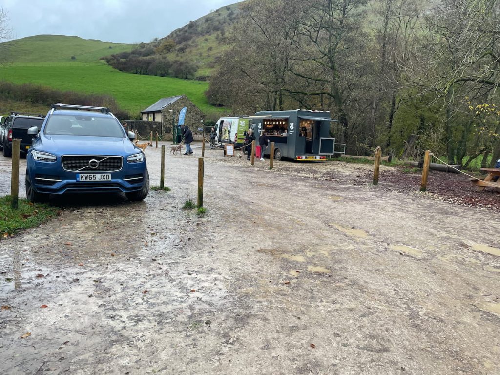
The car park boasts a significant number of spaces and even an overflow area, which is staffed during busy months.
However, due to its popularity, it’s advisable to plan for an early arrival or to visit later in the afternoon to secure a parking spot.
While the car park offers limited amenities, an ice cream and coffee truck is often available on busier days. Public toilets are present but do note there’s a 20p charge per use, accessible via a turnstile.
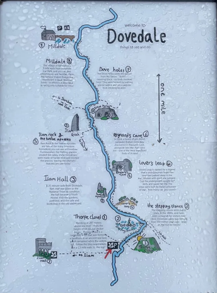
Reynard’s Cave Walking Map & Route
Download file for GPSThere is limited phone service at the car park, so it may be good to download this offline beforehand.
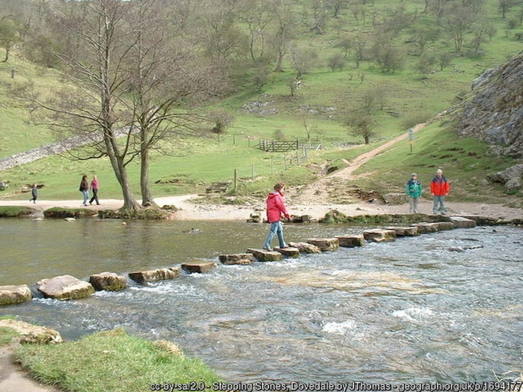
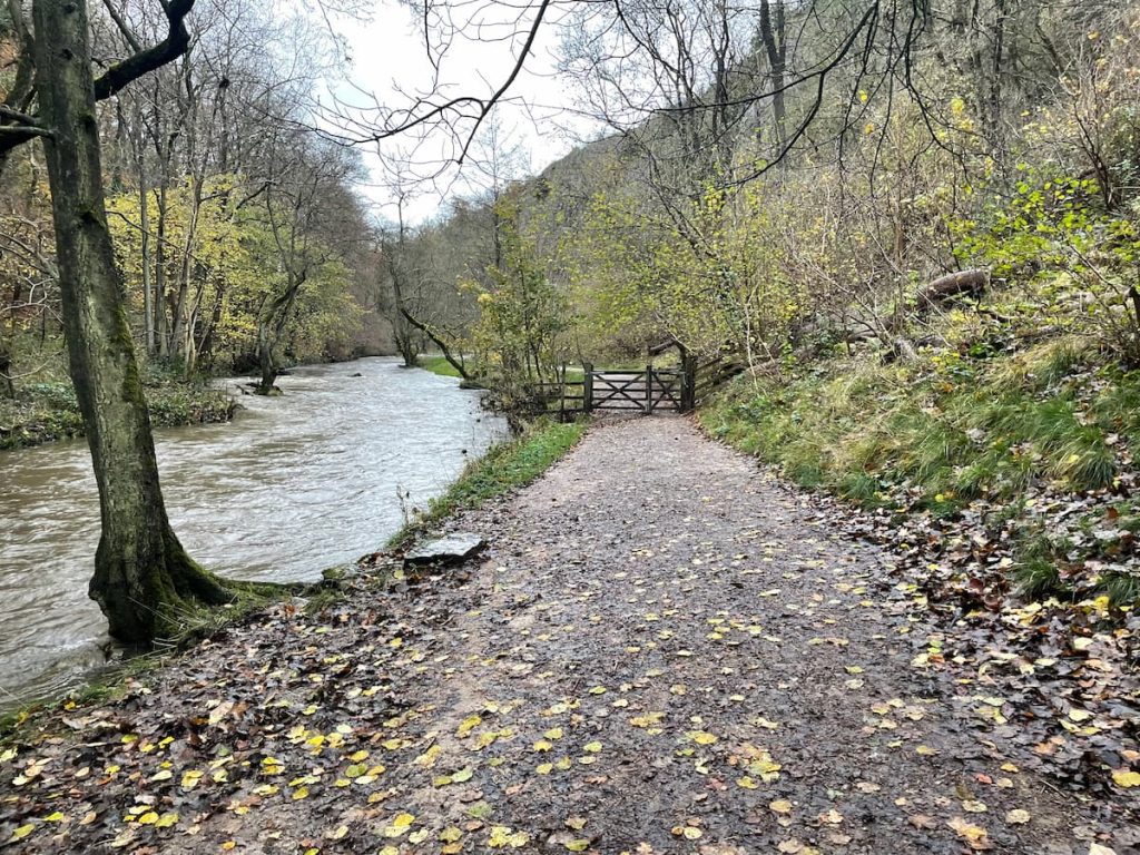
This walk follows the river Dove, crossing at the icon Dovedale stepping stones and along the pathway up and over Lover’s Leap, where you’ll then arrive at Reynard’s Cave. On the way back, you’ll follow the same path.
Which hiking map app should I use? I recommend OS Maps Online for its unparalleled accuracy. However, if you’re a beginner, you might find AllTrails to be more user-friendly. For a detailed review of the best UK map apps, read my full review.
While most of the walk is relatively flat, it’s not fully pram-friendly with the Dovedale stepping stones and Lovers Leap steps before reaching the foot of the cave.
Overall map of Dovedale:
Step by Step – 4.4km (2.7mi) ~ 1hr (There and back)
- From Dovedale Car Park, head past the toilet block and follow the tarmac road.
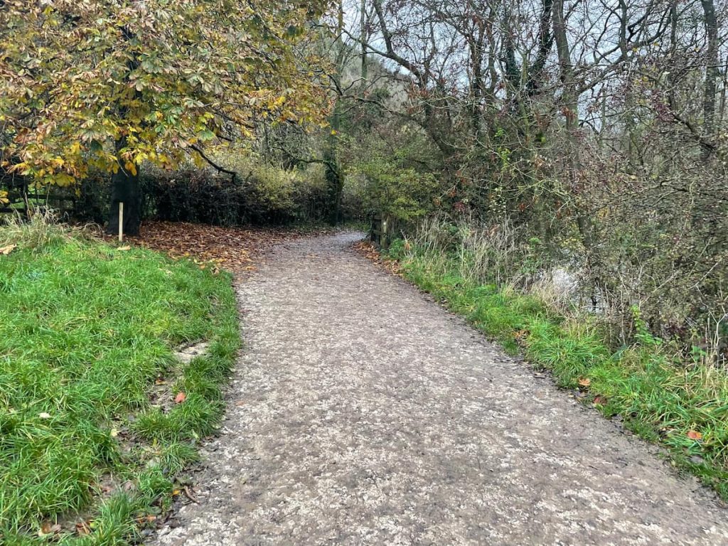
2. You’ll soon find a footbridge on your right. Ignore this and continue on the left-hand tarmac path, which runs alongside the river.
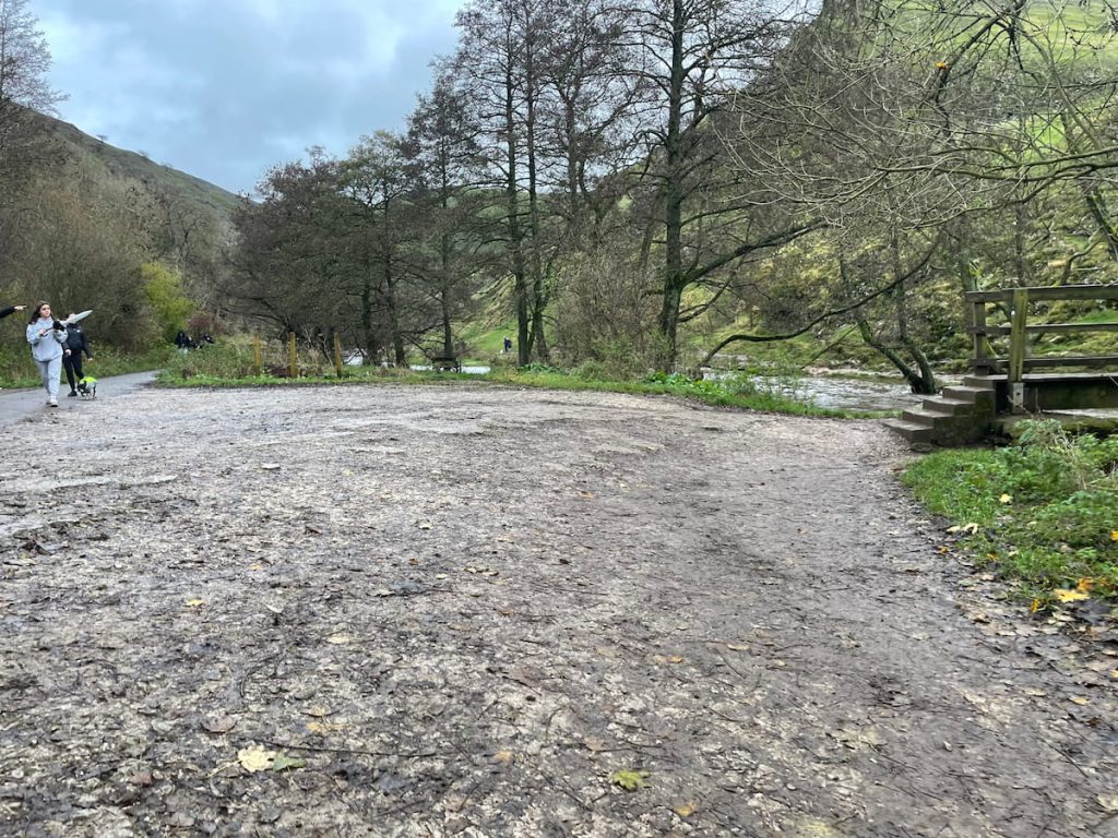
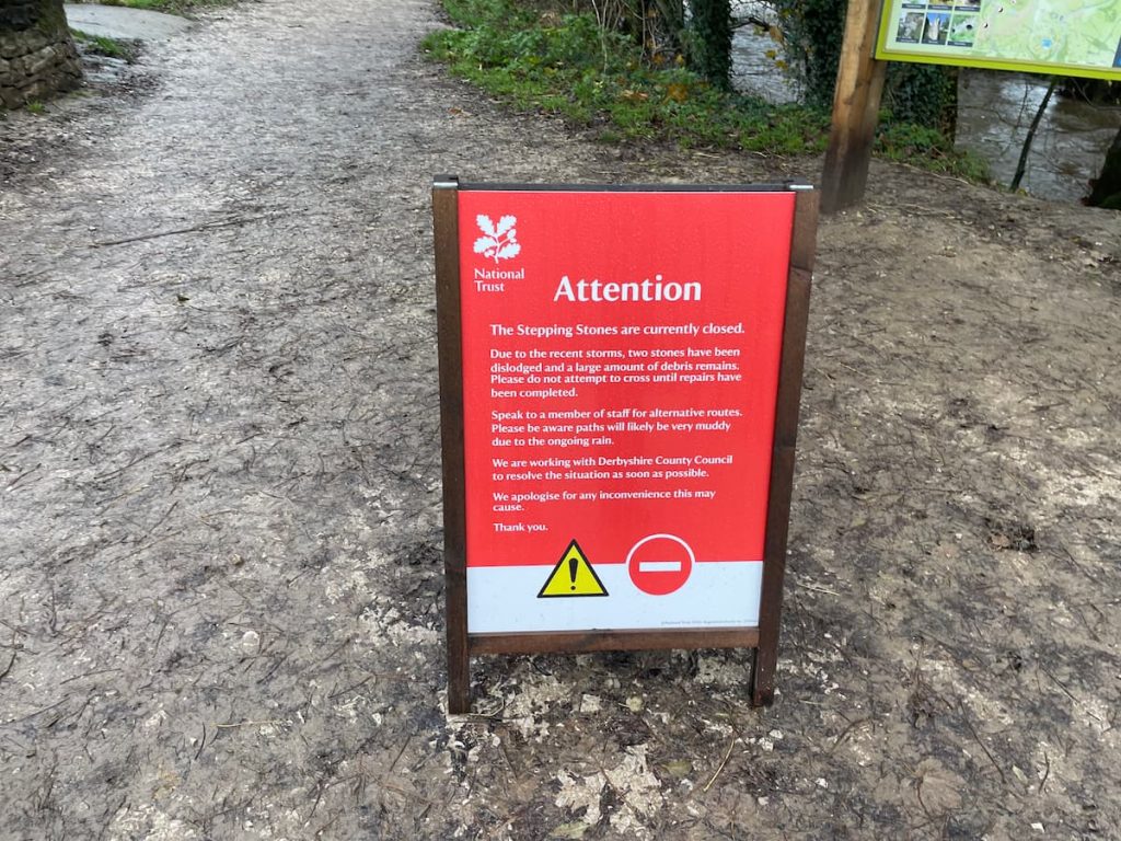
IF WATER LEVELS ARE HIGH: Check the river Dove from the car park. After heavy rainfall, it may flood, covering the stepping stones in the peak district. It’s wise to consult returning hikers about the path’s condition. In case of flooding, use the footbridge on the right of the river. If this path is also flooded, you’ll need to detour behind Thorpe Cloud to bypass the stepping stones.
3. Reach the stepping stones and cross to the other side of the river.
4. After crossing, go through the gate and continue following the river.
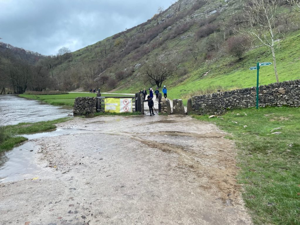
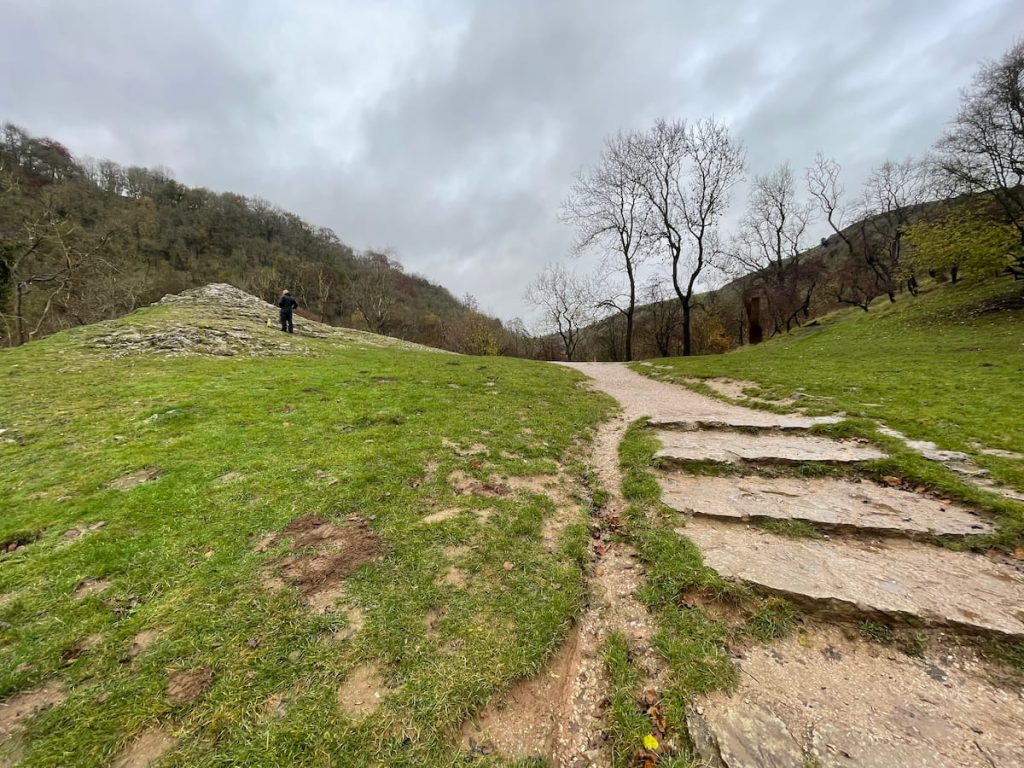
5.Soon, you’ll encounter a staircase leading up to Lover’s Leap.
Fact: Legend says Lover’s Leap got its name after a heartbroken woman jumped from the top but was saved by the vegetation below.
6. Descend the stairs on the other side and continue along the river.
7. Eventually, pass through another gate leading to a path on the right that ascends to the cave.

Exact entrance cave location: ///spearhead.spent.table
8. Begin the steep climb through the view hole to the small cave’s top.

Note: Be cautious on this steep and potentially slippery path, especially in wet conditions. Don’t forget to pause and enjoy the unique view from the top.
This video shows the exact route to the cave as well as an overview of the walk in the cave:

9. Once you’ve explored the cave, return the same way or extend your hike along the Dovedale river path walk. If you’re up for a serious hike, you can also walk to the other popular Thor’s Cave.
While there’s no short circular route, for an extra scenic view, consider climbing Thorpe Cloud on your way back for stunning views of the surrounding area.
- Daypack: Choose a 10-20L daypack to carry all your gear comfortably.
- Clothing: Wear layered, moisture-wicking clothing and pack a waterproof jacket and waterproof trousers for changing weather.
- Footwear: Sturdy walking boots or trail shoes are essential for the varied terrain.
- Water & Snacks: Carry enough water (at least 1L per hour) and bring energy-rich snacks.
- Navigation: Always have a map and compass, and optionally, bring a reliable GPS app to stay on track.
- First Aid Kit: Include essential items like blister treatments and painkillers. A compact First Aid Kit is ideal.
- Emergency Items: A headtorch, whistle, and multi-tool can be vital in unforeseen situations.
Please note some of these links may earn us a commission from qualified purchases at no additional cost to you, which helps fund the free content we provide.
History & Significance of Reynard’s Cave
Reynard’s Kitchen Cave in the Peak District’s Dovedale Gorge is not only a natural marvel but also a site of profound historical significance.
Here’s a glimpse into the fascinating history and the intriguing discoveries made at this remarkable location:
A Portal Through Time
- Geological Formation: The cave, carved from limestone, showcases the natural history of the area. Formed through the erosion caused by acidic rainwater, these processes created the underground systems of tunnels, caves, and caverns that characterize the Peak District.
- Historical Intersection: The River Dove’s erosion of the limestone eventually unveiled Reynard’s Cave, revealing a hidden past. This cave, along with others in the area, provides a unique window into the geological and ecological development of the region.
Archaeological Treasure Trove
- Prehistoric and Ancient Human Activity: The cave’s interior tells a story of human occupation dating back to prehistoric times. It served as a shelter for hunters around 13,000 BCE and was later used for tombs in the Neolithic era.
- Significant Finds: The discovery of a hoard of Late Iron Age and Roman coins in 2014 put Reynard’s Cave on the map as an archaeological site of national importance. This rare collection of coins, including Late Iron Age gold and Roman coins predating the Roman invasion of Britain, offers a fascinating glimpse into the trade and cultural exchanges of ancient times.
- The Cave’s Naming: The origin of the cave’s name is a subject of local legend. It could be named after a local local brigand (outlaw), Reynard, who used it as a hideout, or it might derive its name from its use by foxes, linking it to the medieval allegory of Reynard the Fox.
Modern Discoveries and Conservation
- Recent Excavations: In addition to the coin hoard, the cave has yielded other historical artefacts, including pottery fragments, flint scrapers, and bone tools, all displayed at the Buxton Museum and Art Gallery.
- Conservation Efforts: Managed by the National Trust, Reynard’s Cave is not just a historical site but also a conservation area, highlighting the importance of preserving such sites for future generations.
Reynard’s Cave is a testament to the dynamic interplay of natural forces and human history, making it a must-visit for anyone interested in the history of the Peak District.
DaveyS
Wednesday 3rd of July 2024
great, another place to get ruined by tourists.
Philbert
Tuesday 11th of June 2024
Thursday 4th of July 2024
Cheers, Jenny! Autumn it is then.
Helen Q
Monday 22nd of April 2024
jimboFish
Tuesday 26th of March 2024
Sierra Flint
Tuesday 13th of February 2024
Absolutely fascinated by the history of Reynard's Cave! It's intriguing to think about the archaeological finds and their significance. Anyone knows more details?