
Heading to Alport Castles for the first time?
It’s a stunning route, but knowing where to park, which paths to follow, or where to find basic facilities isn’t always obvious at the start.
Here’s a simple breakdown of how to get there and start your walk the right way.
Getting to the Alport Castles
If visiting Alport Castles by car, park at the Fairholmes Visitor Centre or use the free roadside layby parking on Upper Derwent Valley Road if the main car park is full. Ensure layby spots have no restrictions like double yellow lines.
Alternatively, a direct bus (257 Hulleys of Baslow) runs from Sheffield to the visitor centre for those opting for public transport.
Parking for Alport Castles
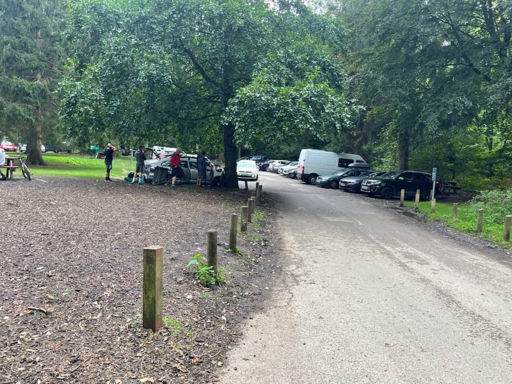
The primary parking location for Alport Castles is the Fairholmes Visitor Centre, the largest car park in the area, situated directly at the base of Derwent dam wall and offering numerous facilities like bike rental, toilets and a small cafe.
This car park operates on a pay-and-display system and can become full during peak times. As an alternative, there is lay-by parking available on the road leading up to the centre, which also fills up quick.
Fairholmes Visitor Centre (Paid)
- Address: Fairholmes Car Park, Bamford, Hope Valley S33 0AQ
- Cost: Up to 2 hrs £3.50, 4 hrs £6, and all day £7 (All day recommended for this walk)
Upper Derwent Valley Road Road Side Parking (Paid)
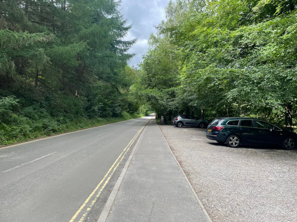
- Address: Car Park, Overlook, Hope Valley S33 0AQ
- Cost: Up to 2 hrs £3.50, 4 hrs £6, and all day £7 (All day recommended for this walk)
Alport Castles by Public Transport
Surprisingly, the area boasts some public transport connections, with a bus service running directly from Sheffield along Snake Road, terminating at the visitor centre.
The service is the ‘257 Hulleys of Baslow’. You can view the timetable here.
Unfortunately, there aren’t any direct public transport links from Manchester or Leeds to Upper Derwent.
Alport Castles Walk Map & Routes
Download file for GPSLeaving the car park, you pass by the Derwent Dam wall and follow the reservoir for some time on the left, until eventually taking the path that leads uphill in a steep incline. Once at the top, you’ll be able to see the Alport Castles rock formation. You’ll then head downhill along the hilltop, crossing several fields and gates until you reach the Ashopton Viaduct at Ladybower Reservoir. You then follow the shoreline path all the way back to the starting point.
Which hiking map app should I use? I recommend OS Maps Online for its unparalleled accuracy. However, if you’re a beginner, you might find AllTrails to be more user-friendly. For a detailed review of the best UK map apps, read my full review.
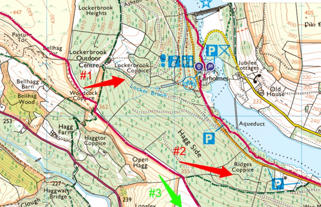
Need a shorter option? You can take options 1 or 2 as seen on the map below which will take you back to Fairholmes car park much sooner. Taking off around 1-2 hrs from the total walk time.
Alport Castles Walk Step by Step – 19 km (11.8 mi) ~ 4-6hr (🟠 Medium Difficulty)
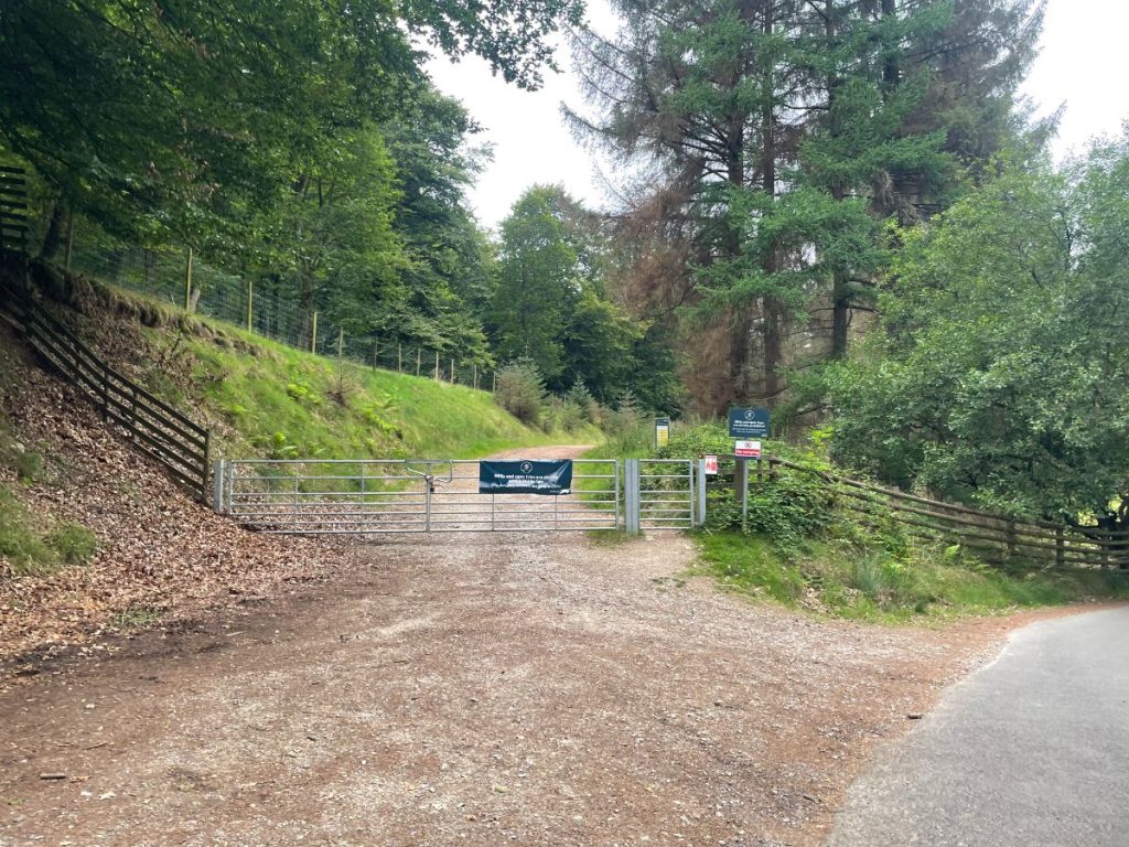
- Head out of Fairholmes car park, following the path along the left-hand side of the dam wall.
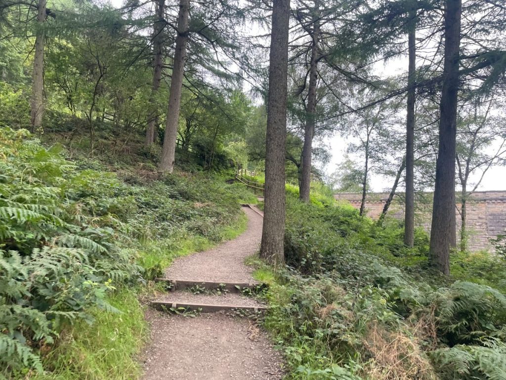
2. Follow the road for just over 4.8 km (3 miles) until you reach a path that leads uphill – this is a steep incline, but it gets the toughest bit of the walk out of the way while your legs are still fresh. If you prefer to approach the walk the other way around, just do it anti-clockwise.
3. As you emerge from the treeline, you’ll be on open moorland – keep following the path uphill.
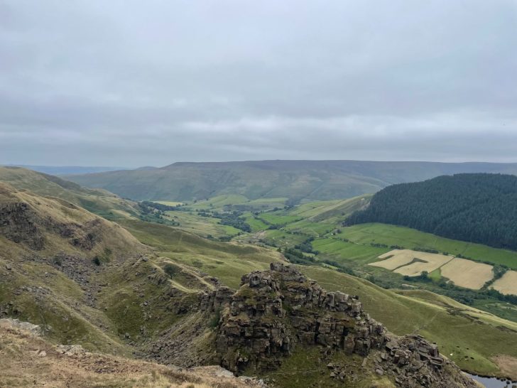
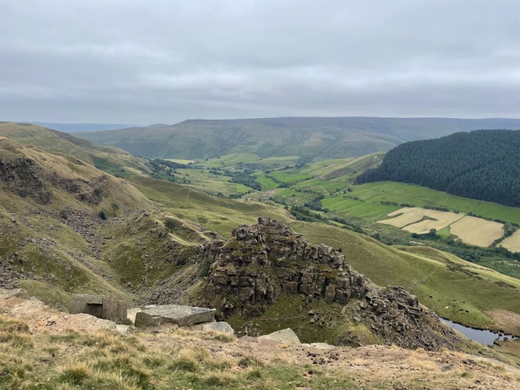
4. Eventually, as you reach the top, you’ll get stunning views of the Snake Pass Valley and the Alport Castles rock formation below, which this walk is named after.
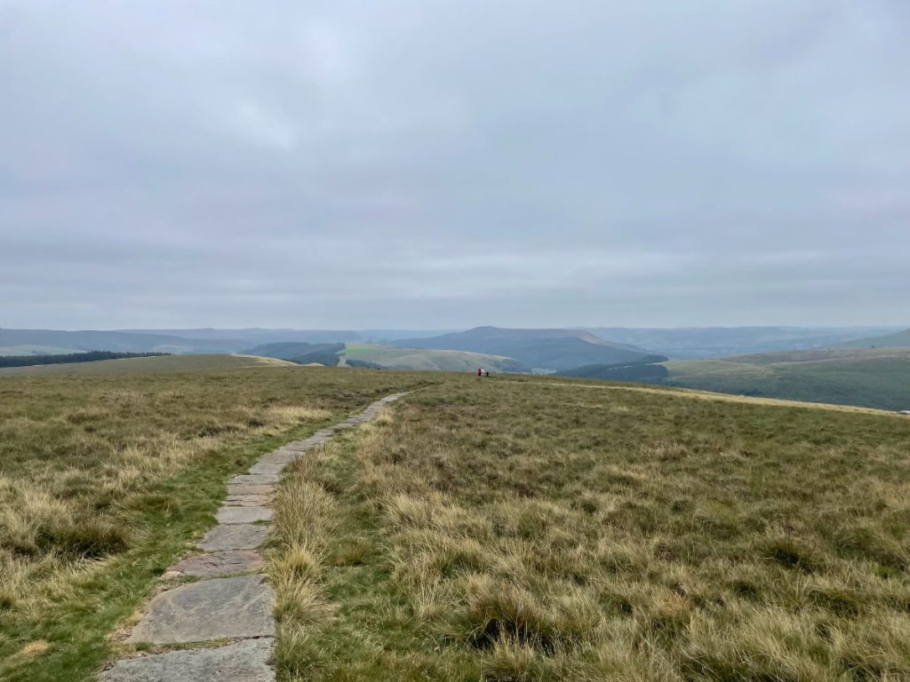
5. When you’re ready, take the path along the hilltop, which follows the ridgeline down. Part of this is a stone path – particularly helpful when it gets boggy.
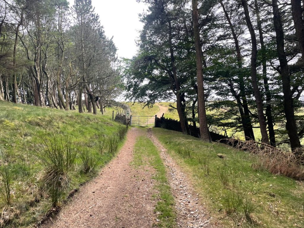
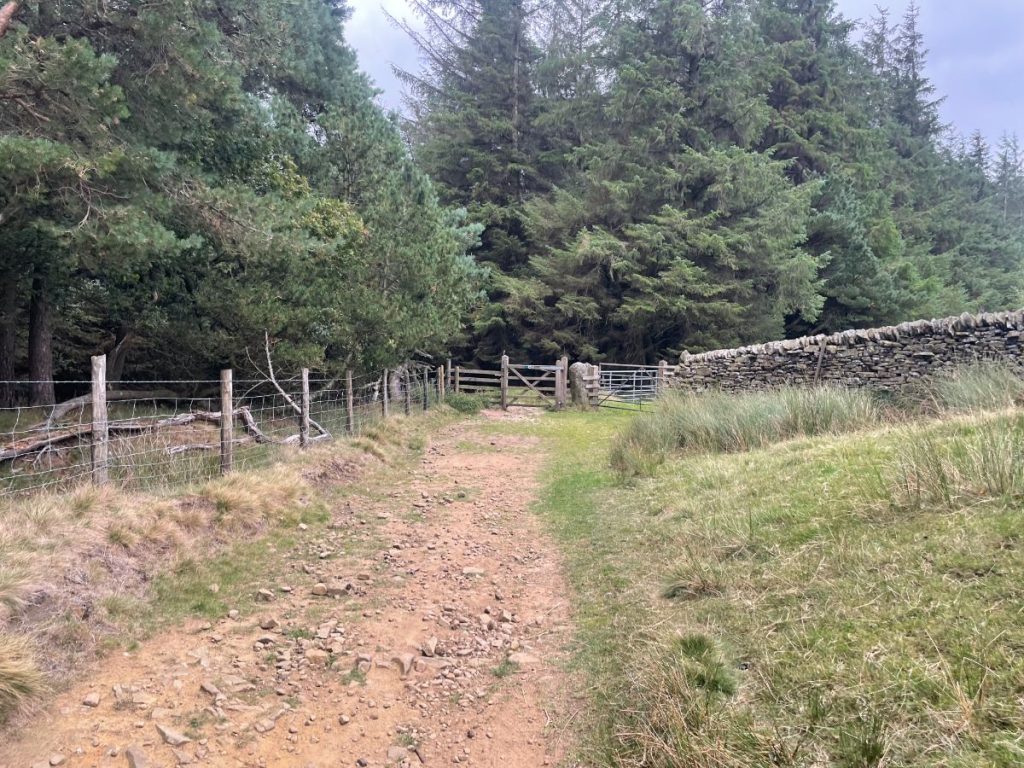
6. Pass through a few gates and stiles, and follow the path along the treeline, making sure not to go into the woodland. Here’s Option 1 to shorten the walk – take the left turn signposted straight back to the visitors centre.
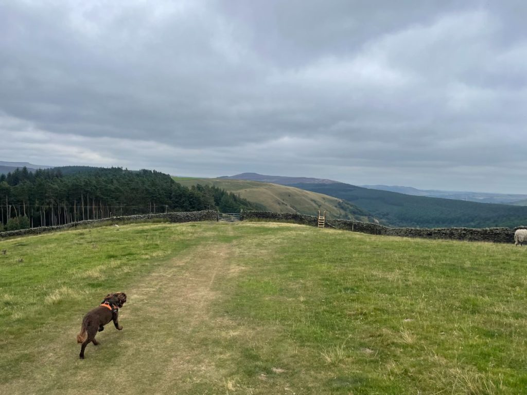
7. If you carry on, follow the footpath with a slight incline through the fields. When you reach a gate between areas of woodland, that’s Option 2 to cut the walk short, taking you back to the main road below.
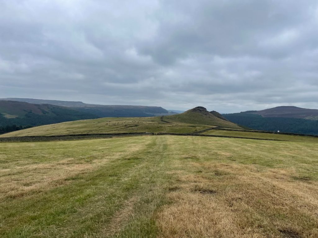
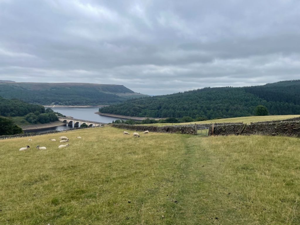
8. Eventually, you’ll reach the final hilltop with views of Crook Hill and Bamford Edge in the distance. Keep going down and around the farmyard.
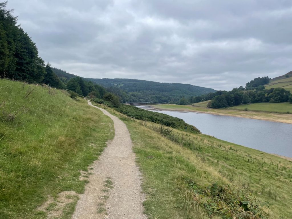
9. Shortly after, you’ll see Ashopton Viaduct across Ladybower Reservoir. The path drops down to the left and meets the main road. Turn right for a short distance, and you’ll find the path that follows the shoreline.
10. You’ll pass through various woodland sections with small inclines and declines until you pop out at the layby car park. From there, simply follow the road back to the visitors centre to complete the walk.
- Daypack: Choose a 10-20L daypack to carry all your gear comfortably.
- Clothing: Wear layered, moisture-wicking clothing and pack a waterproof jacket and waterproof trousers for changing weather.
- Footwear: Sturdy walking boots or trail shoes are essential for the varied terrain.
- Water & Snacks: Carry enough water (at least 1L per hour) and bring energy-rich snacks.
- Navigation: Always have a map and compass, and optionally, bring a reliable GPS app to stay on track.
- First Aid Kit: Include essential items like blister treatments and painkillers. A compact First Aid Kit is ideal.
- Emergency Items: A headtorch, whistle, and multi-tool can be vital in unforeseen situations.
Please note some of these links may earn us a commission from qualified purchases at no additional cost to you, which helps fund the free content we provide.
Alport Castles Amenities & Facilities
Fairholmes Visitor Centre offers most of the amenities you might require:
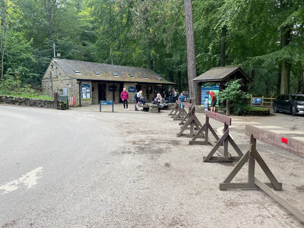
- Public Toilets
- Café
- Picnic Benches
- Ranger Outpost & Visitor Centre (Although now closed)
- Mountain Bike & Cycle Hire – View details here
Should you fancy a more hearty meal or need a convenience store, Bamford is the nearest village, situated just a 10-15 minute drive away.
Please note, that there are limited rubbish and water facilities around the walk. Therefore, it’s advised to bring everything you might need with you and be prepared to take it all away with you.
Yorkshire Bridge Inn
A quintessential country pub and dog-friendly hotel, the Yorkshire Bridge Inn is just a brief stroll from Ladybower Dam along the River Derwent, although a bit far to make a detour from this walk.
For those seeking supplementary provisions, the closest establishment is the Texaco petrol station near the train station. Though its selection may be limited, it should be the essential items needed for your visit.
Note: Fairholmes Visitor Centre is now permanently shut due to cost-cutting measures; however, the carpark, toilets, cafe and bike rental shop at the location is still open.
History & Significance of Alport Castles
Alport Castles is a striking landslip in the Peak District, stretching for over half a mile (0.8 km). It’s believed to be the largest landslide in the UK. The name comes from the jumble of gritstone left behind, huge mounds that rise sharply above the valley and, from a distance, look like castles. The biggest of these, known as “the Tower”, has the shape of a classic motte-and-bailey fortress.
At the foot of the crags, Alport Castles Farm sits by the River Alport. Suffragette Hannah Mitchell was born here in 1871 and spent her early years on the isolated farm.
Alport Castles Walk – FAQs
Can you wild camp at Alport Castles?
Wild camping isn’t officially allowed at Alport Castles, as the area sits within private land and part of a Site of Special Scientific Interest (SSSI).
What are the Alport Castles?
Alport Castles is a dramatic natural landslip, where huge blocks of gritstone have broken away from the hillside. The scattered rock formations resemble a motte-and-bailey castle, which is how the area got its name.